Legacy Atmospheric Profiles and Large Hail in Iowa

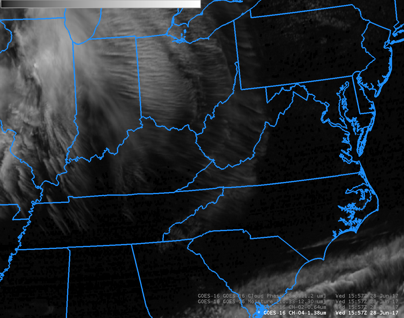
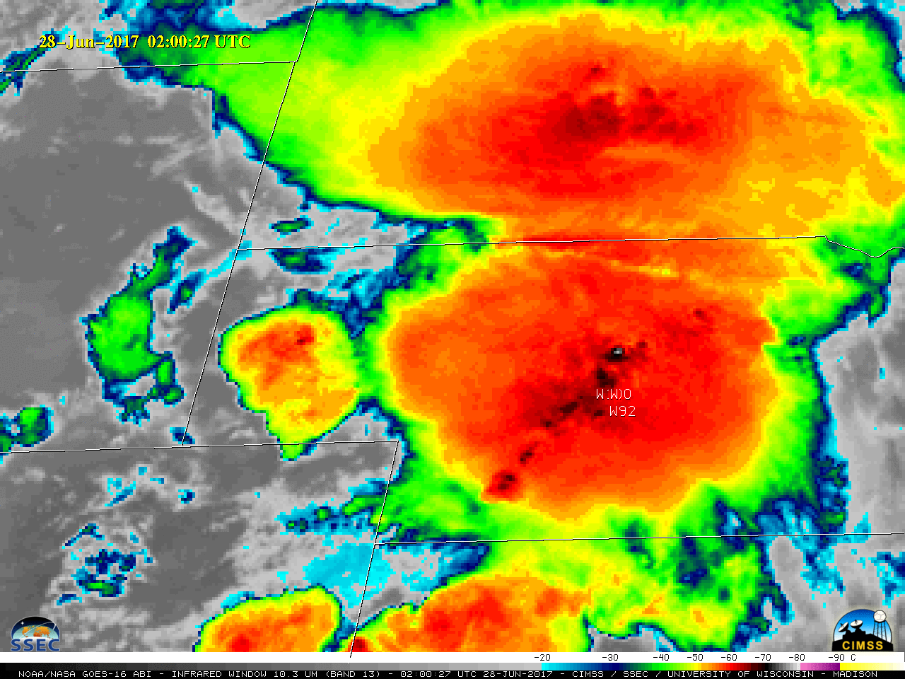
GOES-16 data posted on this page are preliminary, non-operational data and are undergoing testingSoftball-sized hail fell in northwestern Iowa on Thursday afternoon, 29 June (Storm Prediction Center Storm Reports). The visible animation above, from 1902 to 2307 UTC, shows the rapid development of convection over far northeast Nebraska. Woodbury County in Iowa is outlined... Read More