Legacy Atmospheric Profiles and Large Hail in Iowa

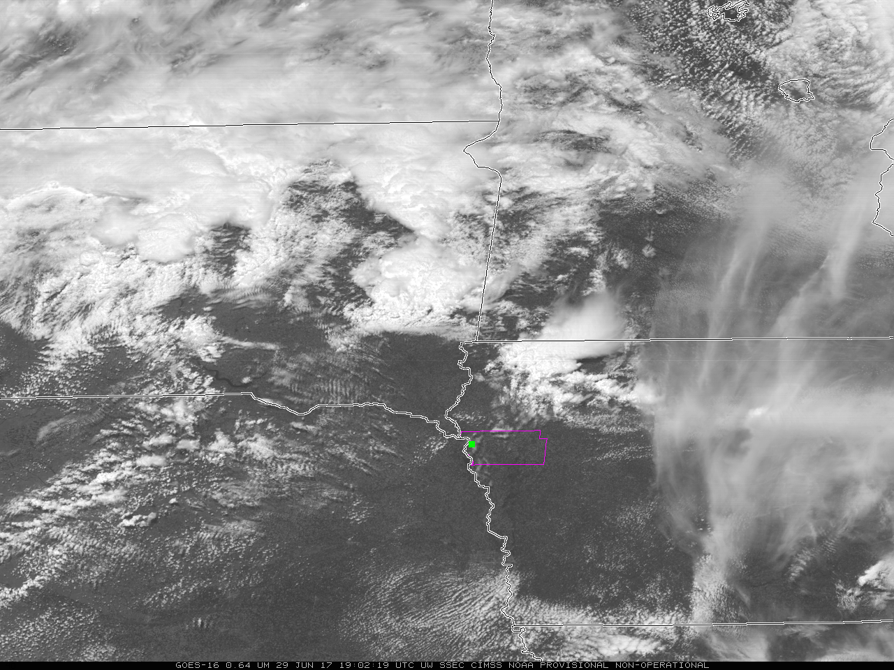
GOES-16 Visible Imagery (0.64 µm) from 1902 through 2307 UTC on 29 June 2017. Woodbury County in Northwest Iowa is outlined in Magenta (Click to play animated gif)
GOES-16 data posted on this page are preliminary, non-operational data and are undergoing testing
Softball-sized hail fell in northwestern Iowa on Thursday afternoon, 29 June (Storm Prediction Center Storm Reports). The visible animation above, from 1902 to 2307 UTC, shows the rapid development of convection over far northeast Nebraska. Woodbury County in Iowa is outlined in the animation, the largest reported hail occurred in that county along the shores of the Missouri River; the location of the 4.25″ diameter hail is shown as the green box on this image. This visible image closely corresponds to the time of the hail fall.
Since a GOES-16 Mesoscale Sector was positioned over the region, imagery was available at 1-minute intervals — a comparison of “Red” Visible (0.64 µm) and “Clean” Infrared Window (10.3 µm) images is shown below. Plots of SPC storm reports are parallax-corrected to match the location of the storm-top features. The rapid growth of the storm that produced the 4.25″ hail was apparent in the Infrared data, which showed cloud tops cooling from around -45ºC at 2000 UTC to -65.5ºC at 2130 UTC (the time of the hail report). Cloud-top cooling rates were consistently 3ºC/5 minutes during this time. Also, in far northeastern Nebraska, a supercell thunderstorm produced an EF-1 tornado that tracked 14.4 miles along with hail up to 2.75 inches in diameter (NWS Omaha summary).
GOES-16 Visible (0.64 µm, top) and Infrared Window (10.3 µm, bottom) images, with SPC storm reports plotted in red (on Visible) and black (on Infrared) [Click to play MP4 animation]
LAP Profiles can be an excellent tool for situational awareness when convection develops in clear or partly-cloudy regions.


