Large hail in eastern Colorado
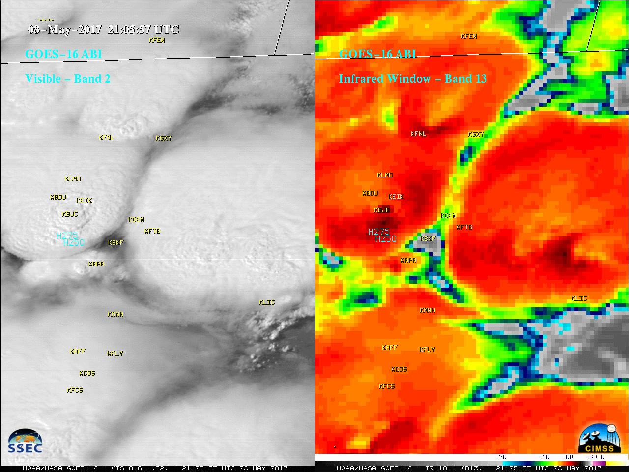
** The GOES-16 data posted on this page are preliminary, non-operational data and are undergoing testing. **Severe thunderstorms developed over eastern Colorado on 08 May 2017, producing large hail (especially in the Denver area: SPC storm reports | NWS Boulder summary). Both GOES-16 Mesoscale Sectors were positioned over that region, providing 30-second interval images — Visible (0.64 µm)... Read More
