GOES-14 SRSO-R: severe thunderstorms in parts of the Midwest and the Southern Plains
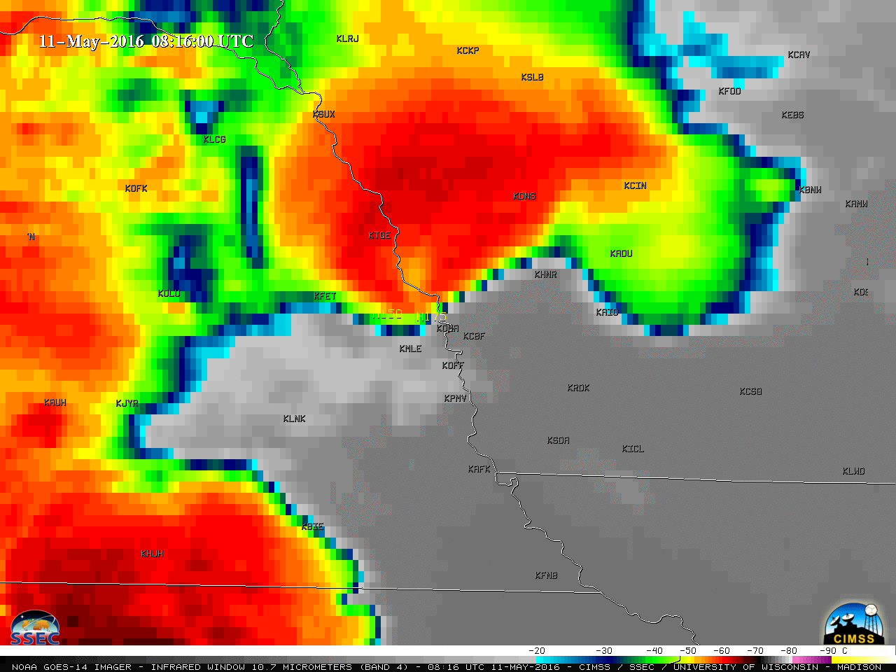
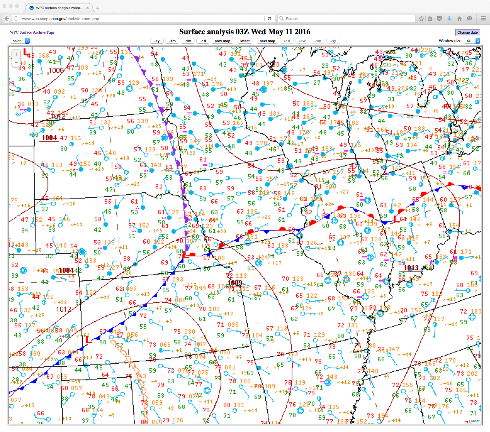
The GOES-14 satellite remained in Super Rapid Scan Operations for GOES-R (SRSO-R) mode for part of the day on 11 May 2016; Infrared Window (10.7 µm) images (above) showed the nocturnal development of a severe thunderstorm ahead of an approaching occluded front (surface analyses) that dropped large amounts of hail in the northwestern... Read More
