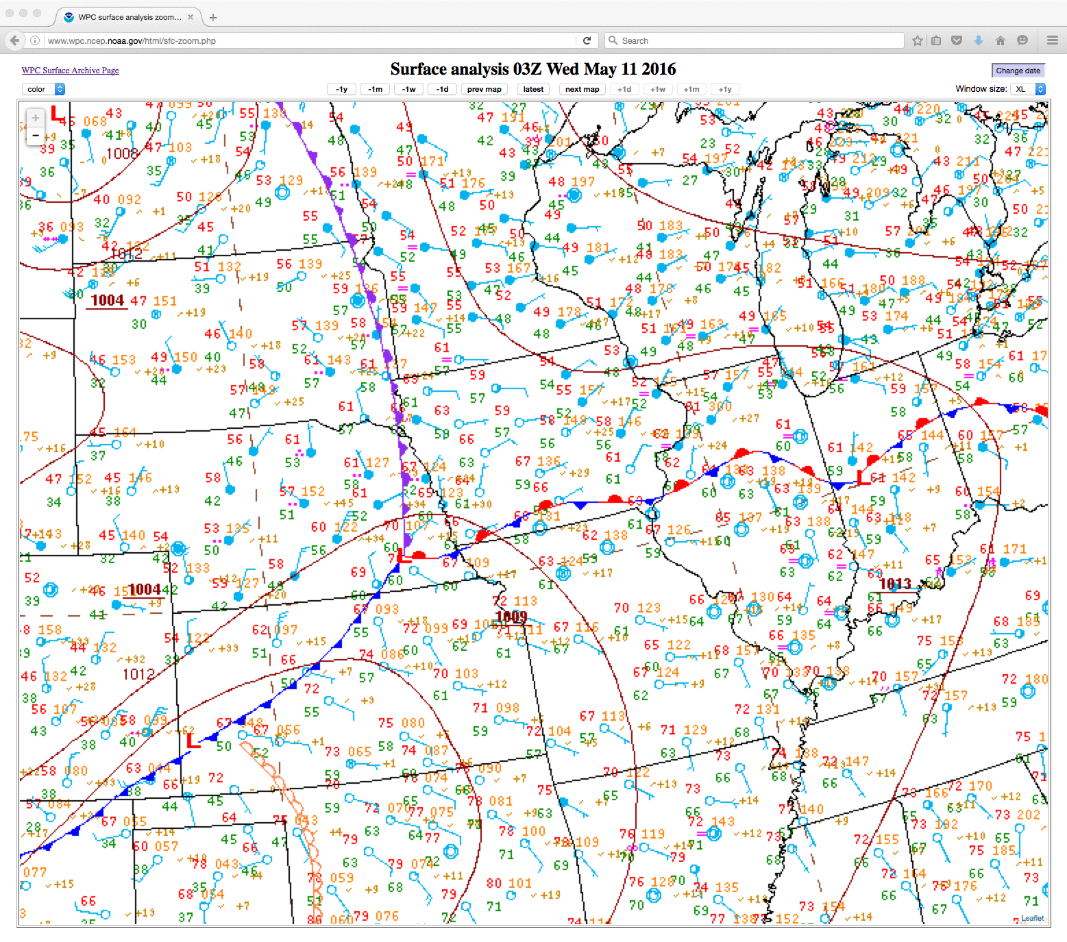
GOES-14 SRSO-R: severe thunderstorms in parts of the Midwest and the Southern Plains
![GOES-14 Infrared Window (10.7 µm) images, with parallax-corrected SPC storm reports [click to play animation]](https://cimss.ssec.wisc.edu/satellite-blog/wp-content/uploads/sites/5/2016/05/160511_goes14_infrared_NE_anim.gif)
GOES-14 Infrared Window (10.7 µm) images, with parallax-corrected SPC storm reports [click to play animation]
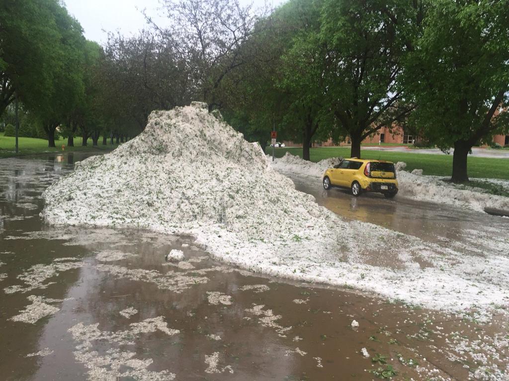
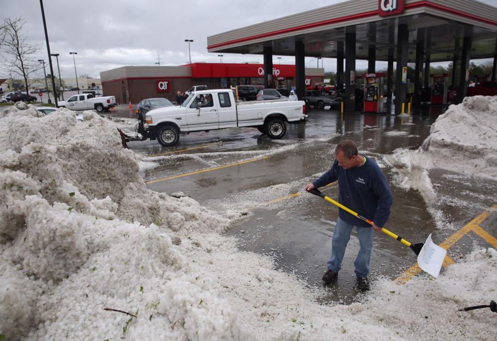
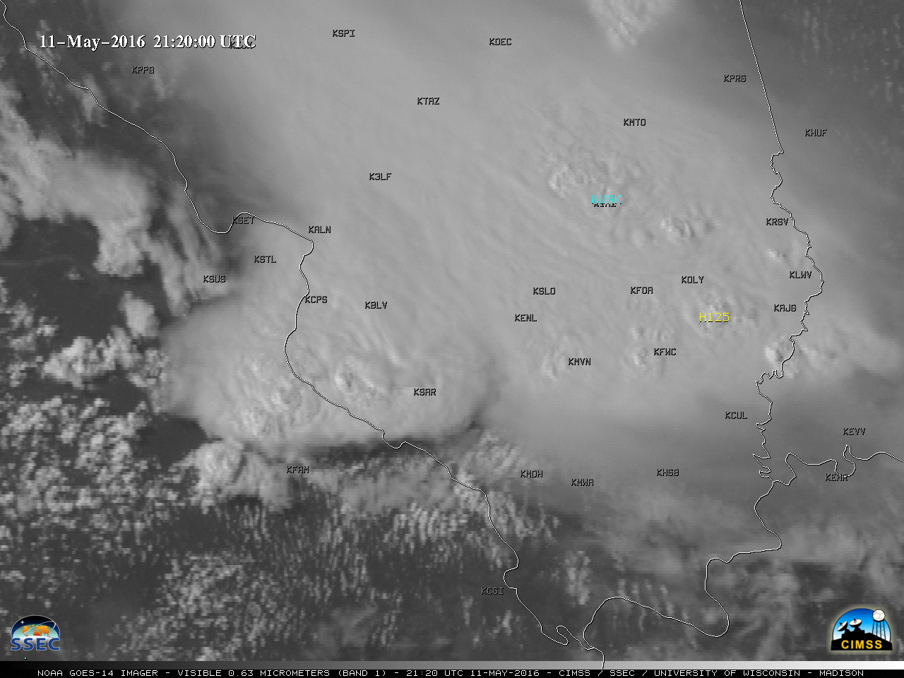
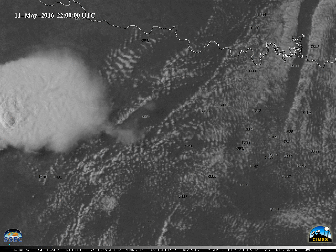
During the late afternoon and early evening, GOES-14 Visible (0.63 µm) images (below; also available as a large 59 Mbyte animated GIF) revealed additional thunderstorms which produced hail and damaging winds across eastern Missouri and southern Illinois (SPC storm reports). These storms fired along an outflow boundary left in the wake of another mesoscale convective system (MCS) that moved through the region earlier in the day.
![GOES-14 Visible (0.63 µm) images, with parallax-corrected SPC storm reports [click to play MP4 animation]](https://cimss.ssec.wisc.edu/satellite-blog/wp-content/uploads/sites/5/2016/05/960x1280_GOES14_B1_GOES14_VIS_MO_IL_11MAY2016_2016132_214600_0001PANEL.GIF)
GOES-14 Visible (0.63 µm) images, with parallax-corrected SPC storm reports [click to play MP4 animation]
![GOES-13 visible (0.63 µm) images, with parallax-corrected SPC storm reports [click to play animation]](https://cimss.ssec.wisc.edu/satellite-blog/wp-content/uploads/sites/5/2016/05/160511_goes13_visible_spc_storm_reports_STL_anim.gif)
GOES-13 visible (0.63 µm) images, with parallax-corrected SPC storm reports [click to play animation]
![GOES-14 Visible (0.63 µm) images, with parallax-corrected SPC storm reports [click to play MP4 animation]](https://cimss.ssec.wisc.edu/satellite-blog/wp-content/uploads/sites/5/2016/05/960x1280_GOES14_B1_GOES14_VIS_TX_11MAY2016_2016132_234900_0001PANEL.GIF)
GOES-14 Visible (0.63 µm) images, with parallax-corrected SPC storm reports [click to play MP4 animation]