Typhoon Lola seen from Himawari
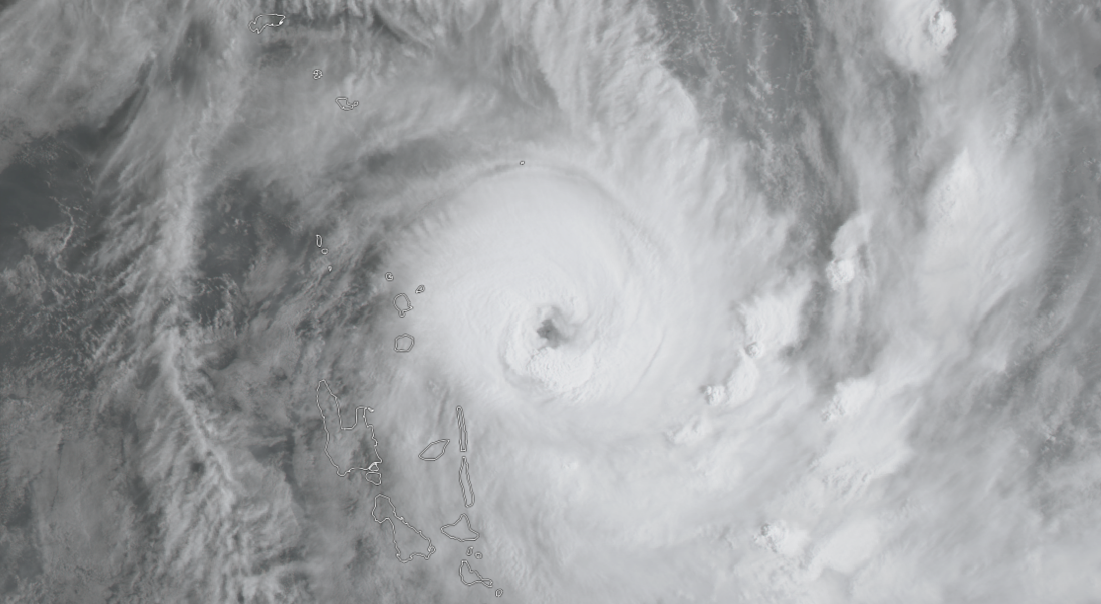
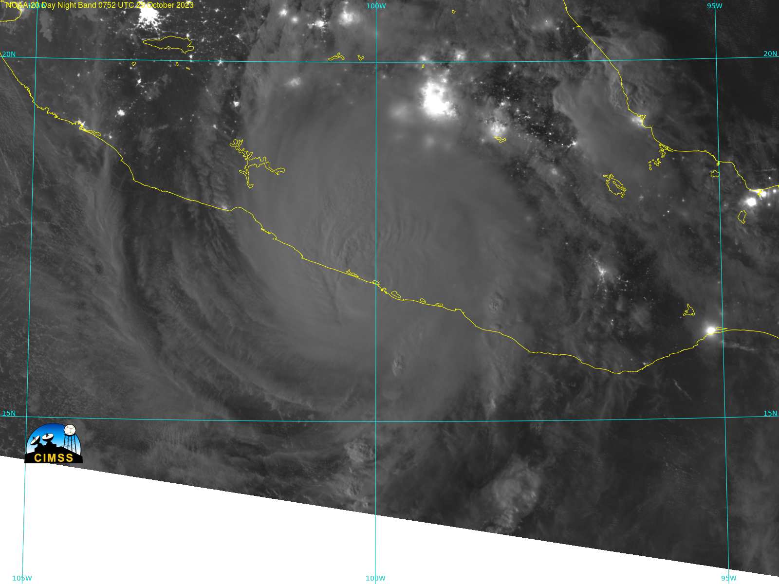
Severe Tropical Cyclone Lola has formed in the southwest Pacific and is currently moving south west. As of 2023-10-25 at 21Z, it is located near Vanuatu at approximately 17°S, 167°E. Watch Lola move over 48 hours in RealEarth, which allows users to visualize full-disk data from geostationary satellites: GOES-East, GOES-West,... Read More
