Remnant from Isaac emerges into northern Gulf of Mexico
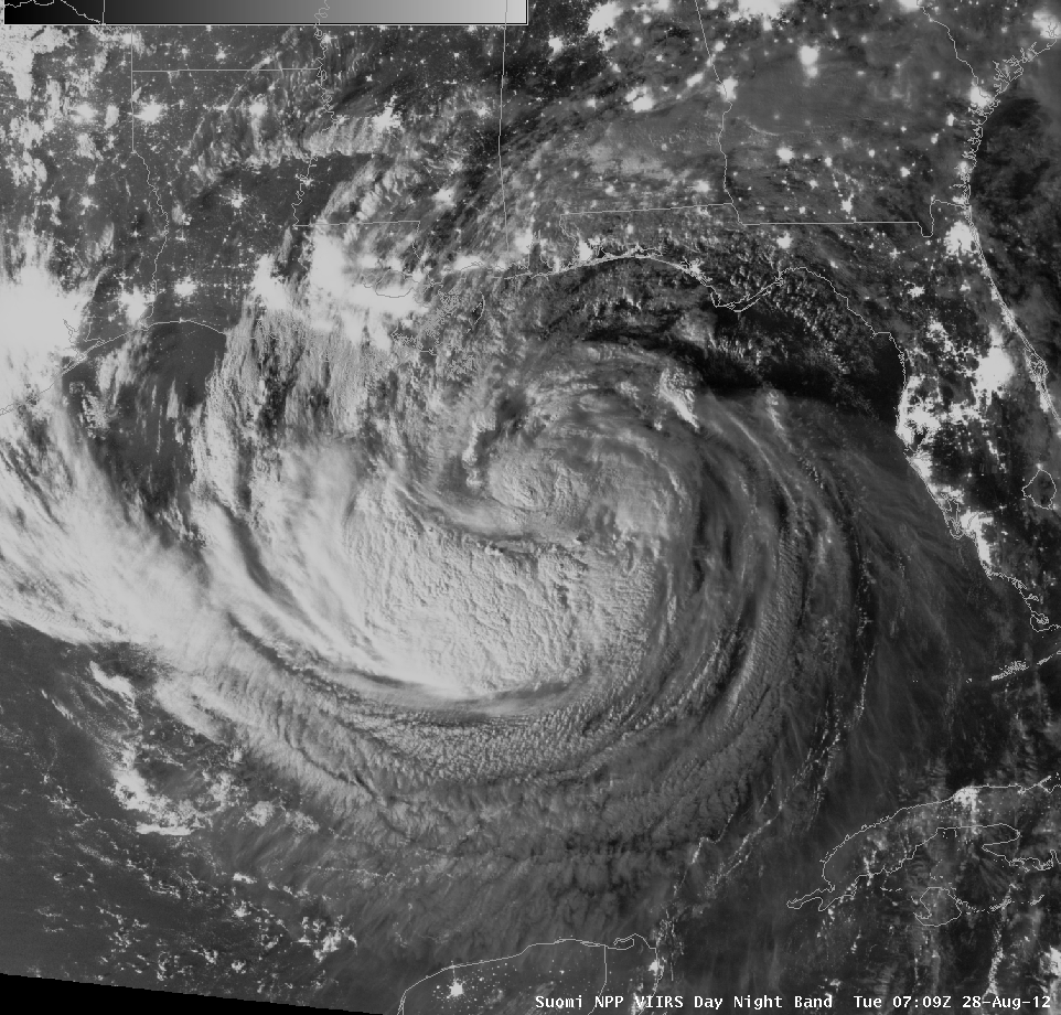
A thunderstorm complex over the northern Gulf of Mexico on the morning of September 5th is being monitored for tropical development. This cluster originated as a mesoscale convective system that emerged from the southern edge of Isaac’s decaying circulation, as shown in the animation above. The animation, starting from Isaac’s... Read More
