Typhoon Mawar moves through the Rota Channel
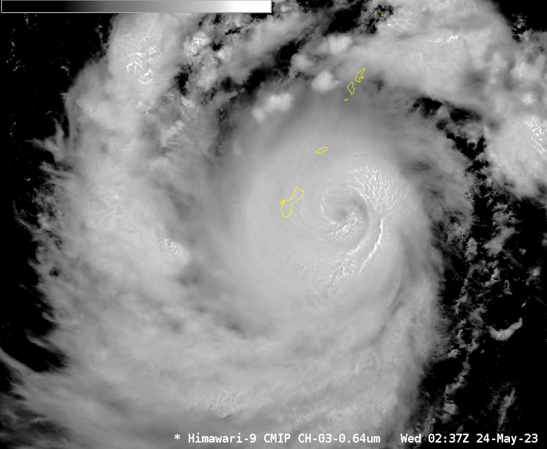
Typhoon Mawar wobbled north during the day on 24 May and moved through the Rota channel between the islands of Guam to the south and Rota to the north, as shown in the animation of Himawari-9 Target Sector Band 3 (Visible, 0.64 µm) imagery above. The track path from the... Read More
