Tropical Cyclone Judy in the South Pacific Ocean

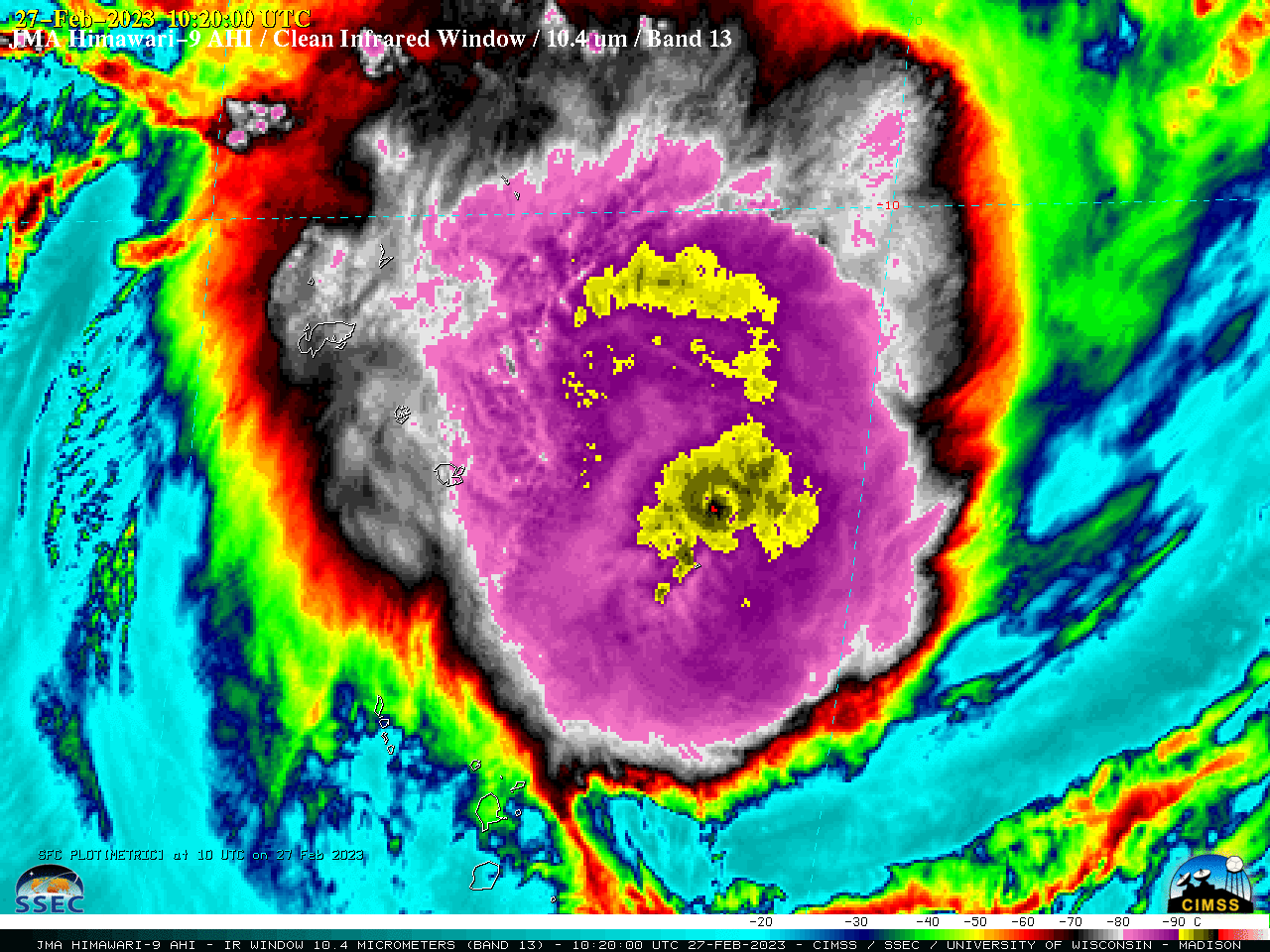
JMA Himawari-9 Infrared Window (10.4 µm) images [click to play animated GIF | MP4]
The Central Cold Cover feature was displaced to the NNW of the low-level storm center — and Judy was moving through an environment of low deep-layer wind shear (below).
===== 28 February Update =====

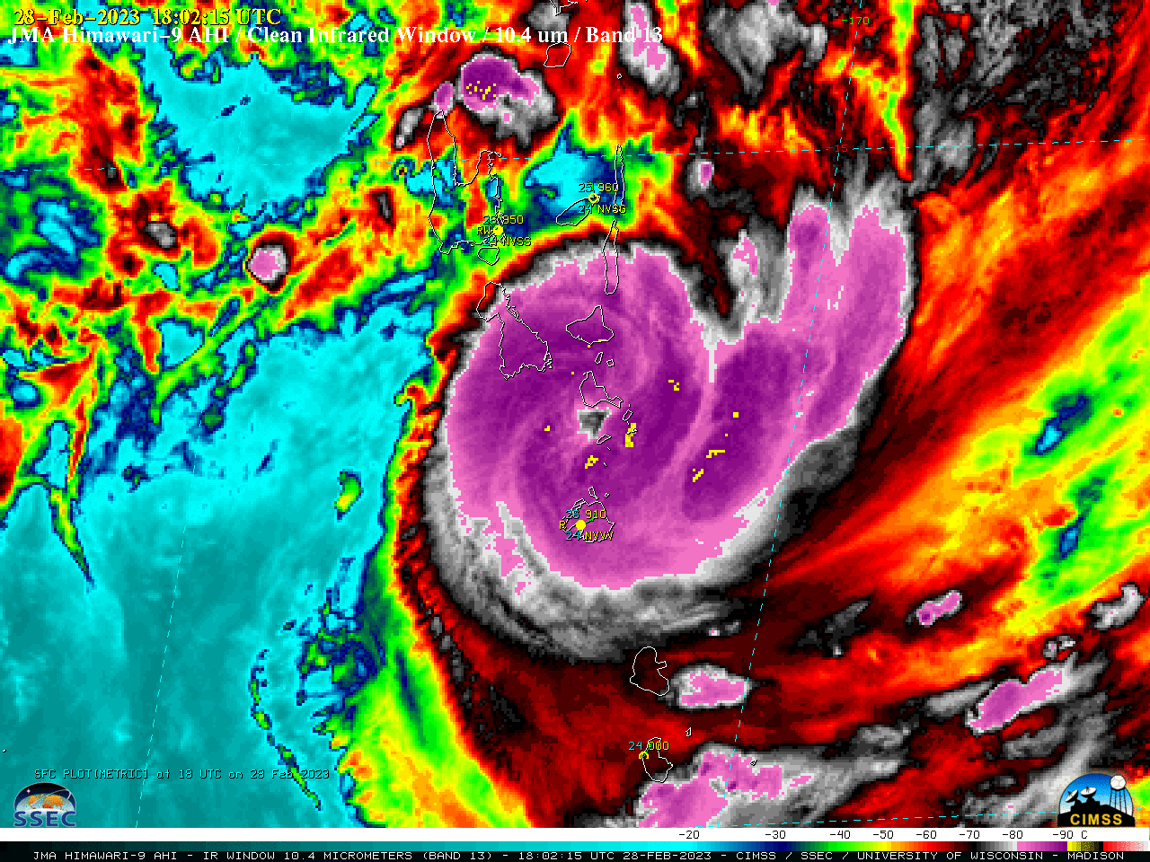
JMA Himawari-9 Infrared Window (10.4 µm) images [click to play animated GIF | MP4]
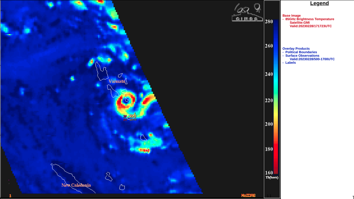
A GMI Microwave (85 GHz) image at 1717 UTC (below) revealed that the eye of Judy was passing over the island of Epi, Vanuatu at that time.
===== 01 March Update =====

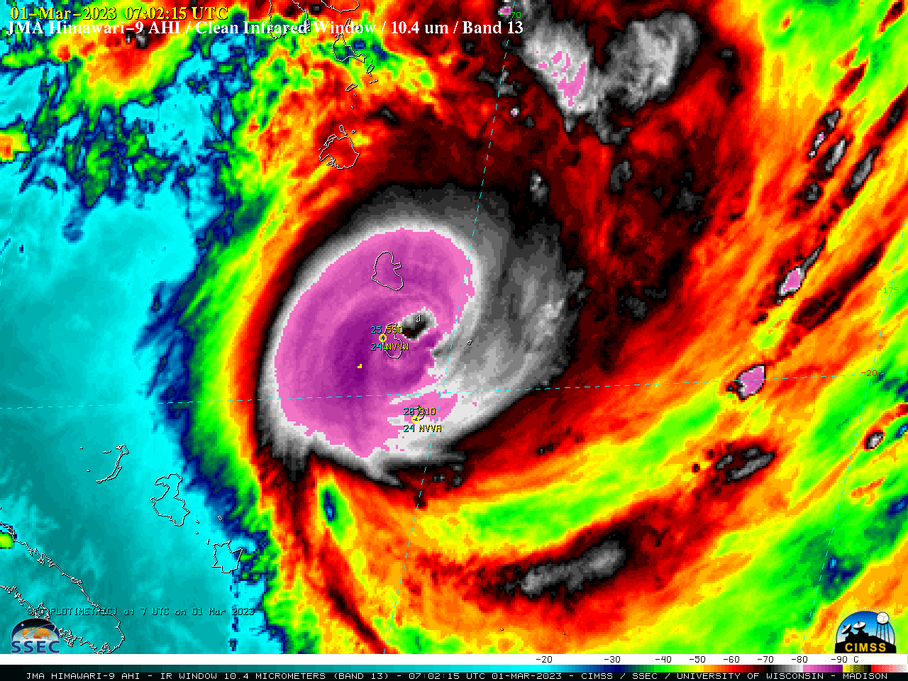
JMA Himawari-9 Infrared Window (10.4 µm) images [click to play animated GIF | MP4]


