Severe thunderstorms in North Carolina
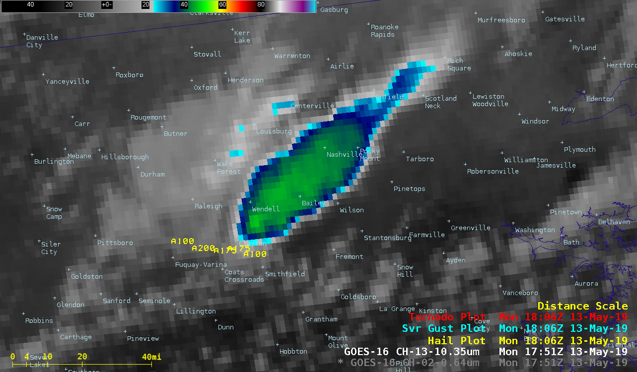
GOES-16 (GOES-East) “Red” Visible (0.64 µm) and “Clean” Infrared Window (10.3 µm) images (above) showed clusters of severe thunderstorms that produced tornadoes and large hail (SPC storm reports) across parts of central and eastern North Carolina on 13 May 2019.A west-to-east oriented quasi-stationary frontal boundary was acting as a focusing mechanism for many of these thunderstorms... Read More