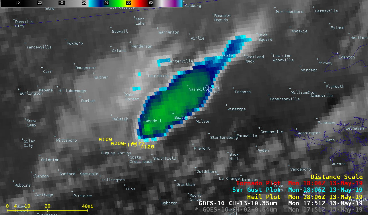
Severe thunderstorms in North Carolina

GOES-16 “Red” Visible (0.64 µm) and “Clean” Infrared Window (10.3 µm) images, with plots of SPC storm reports [click to play animation | MP4]
A west-to-east oriented quasi-stationary frontal boundary was acting as a focusing mechanism for many of these thunderstorms — the Terra MODIS Total Precipitable Water product at 1525 UTC (below) showed TPW values around 28 mm or 1.1 inch (lighter green enhancement) pooled immediately south of this frontal boundary.


![Terra MODIS Total Precipitable Water product [click to enlarge]](https://cimss.ssec.wisc.edu/satellite-blog/wp-content/uploads/sites/5/2019/05/nc_modis_ir_tpw-20190513_152500.png)