Severe weather over northeast Illinois
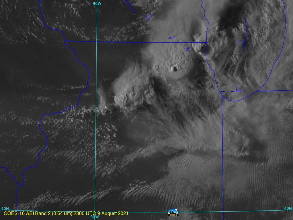
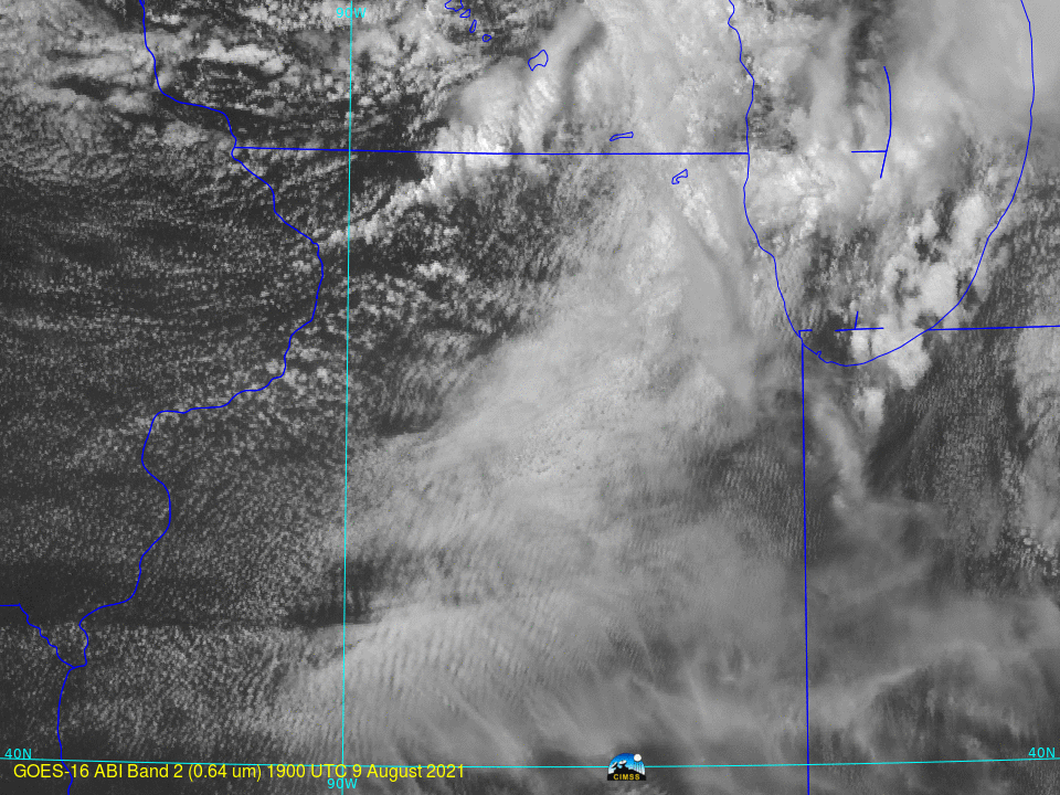
Severe thunderstorms developed over northeast Illinois late in the afternoon on 9 August, and a series of tornadoes resulted. Storm Reports (from the Storm Prediction Center) are shown below. The mp4 animation above (click here for a large animated gif) shows 1-minute GOES-16 Mesoscale Sector 2 visible imagery (0.64 µm) from... Read More
