Severe thunderstorms across the Northeast US
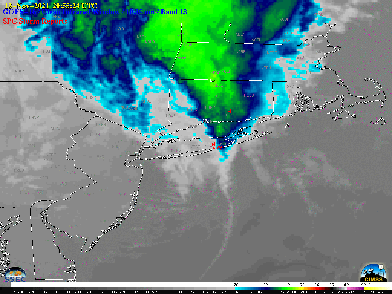
1-minute Mesoscale Domain Sector GOES-16 (GOES-East) “Red” Visible (0.64 µm) images (above) include time-matched plots of SPC Storm Reports — and showed severe thunderstorms moving eastward across parts of New Jersey, New York, Connecticut, Rhode Island and Massachusetts on 13 November 2021. These storms developed along and just ahead of a cold front (surface analyses), the position of which was highlighted by an “arc cloud”... Read More
