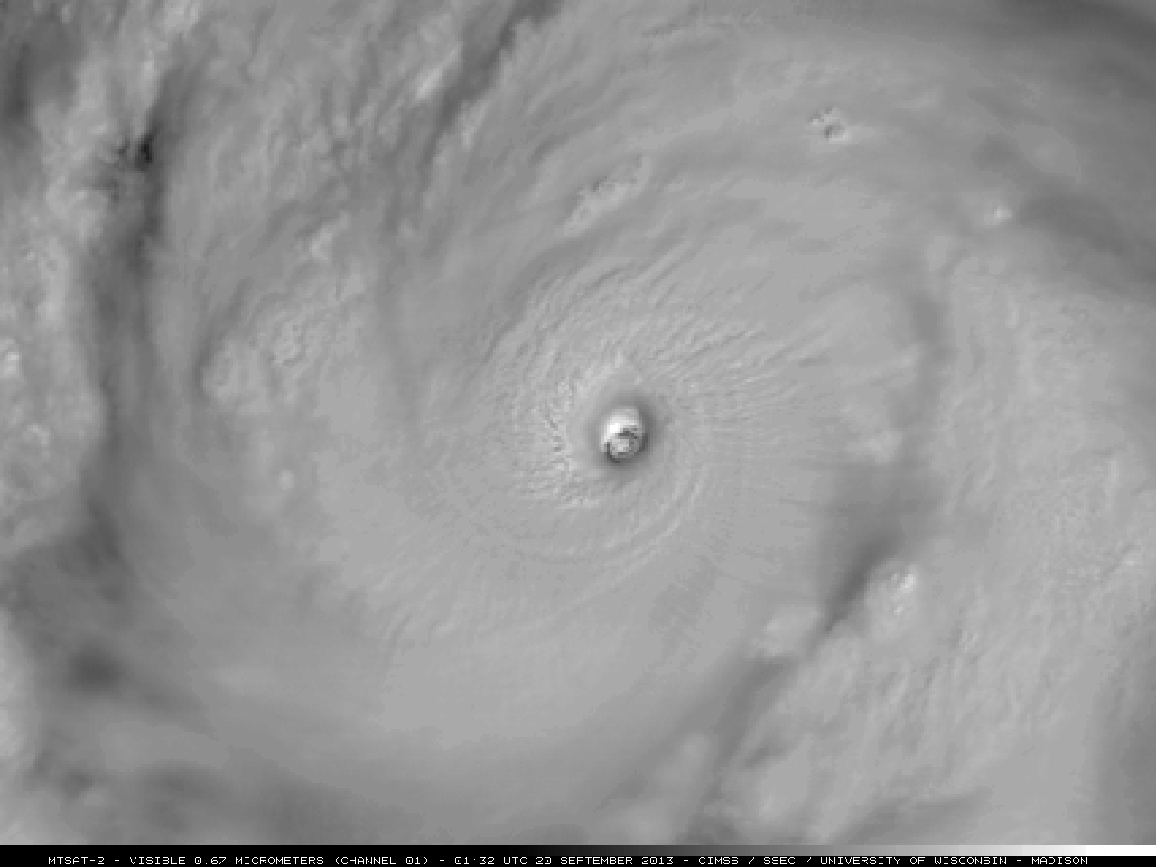
Tropical Storm Karen’s transition to an extratropical coastal low
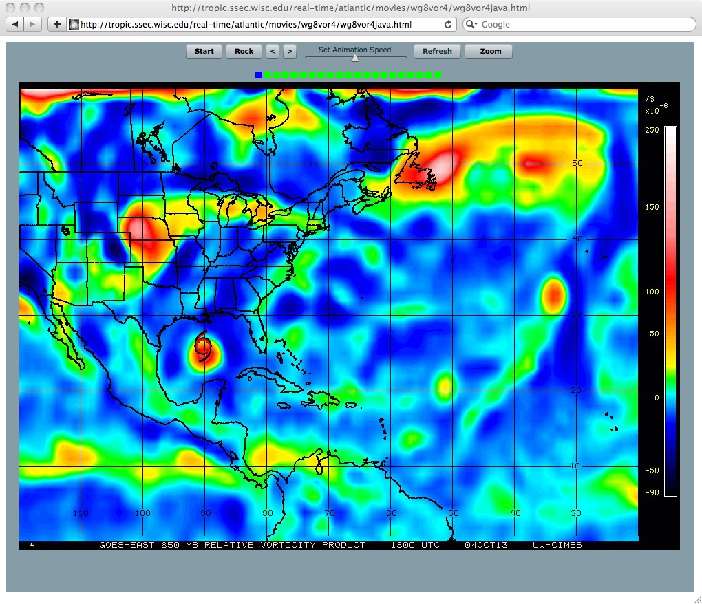
A sequence of images of the satellite-wind-derived 850 hPa relative vorticity product at 6-hour intervals covering the period 04 October to 09 October 2013 (above; click image to play animation)... Read More