Lake Michigan: ice motion, cloud streets, and a mesovortex
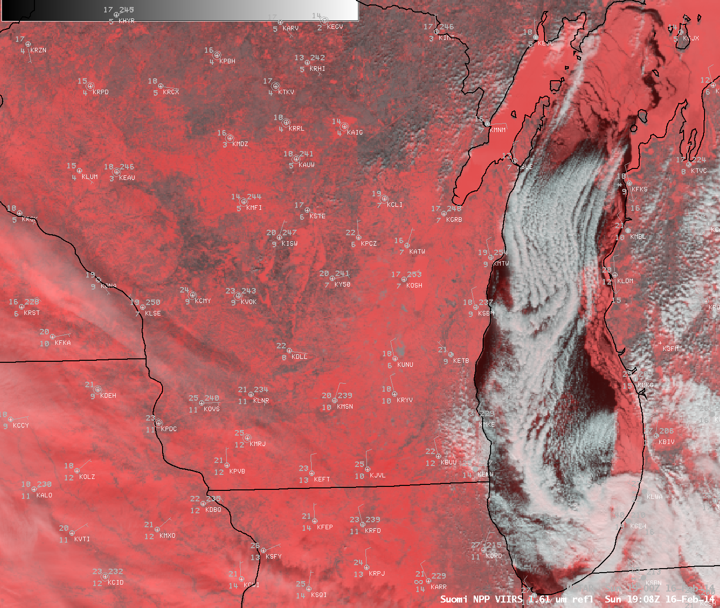
AWIPS images of GOES-13 0.63 µm visible channel data (above; click image to play animation) displayed a number of interesting Lake Michigan features on 16 February 2014: (1) the motion of lake ice in the northern and far eastern portions of the lake,... Read More