This website works best with a newer web browser such as Chrome, Firefox, Safari or Microsoft Edge. Internet Explorer is not supported by this website.

Category: Satellite winds

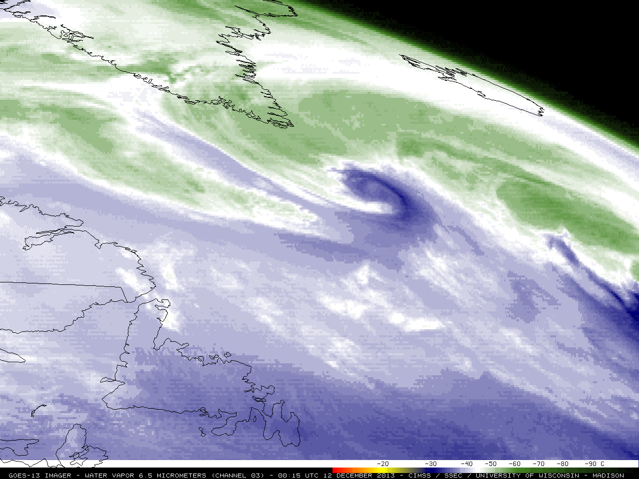
Mesovortices in Lake Superior

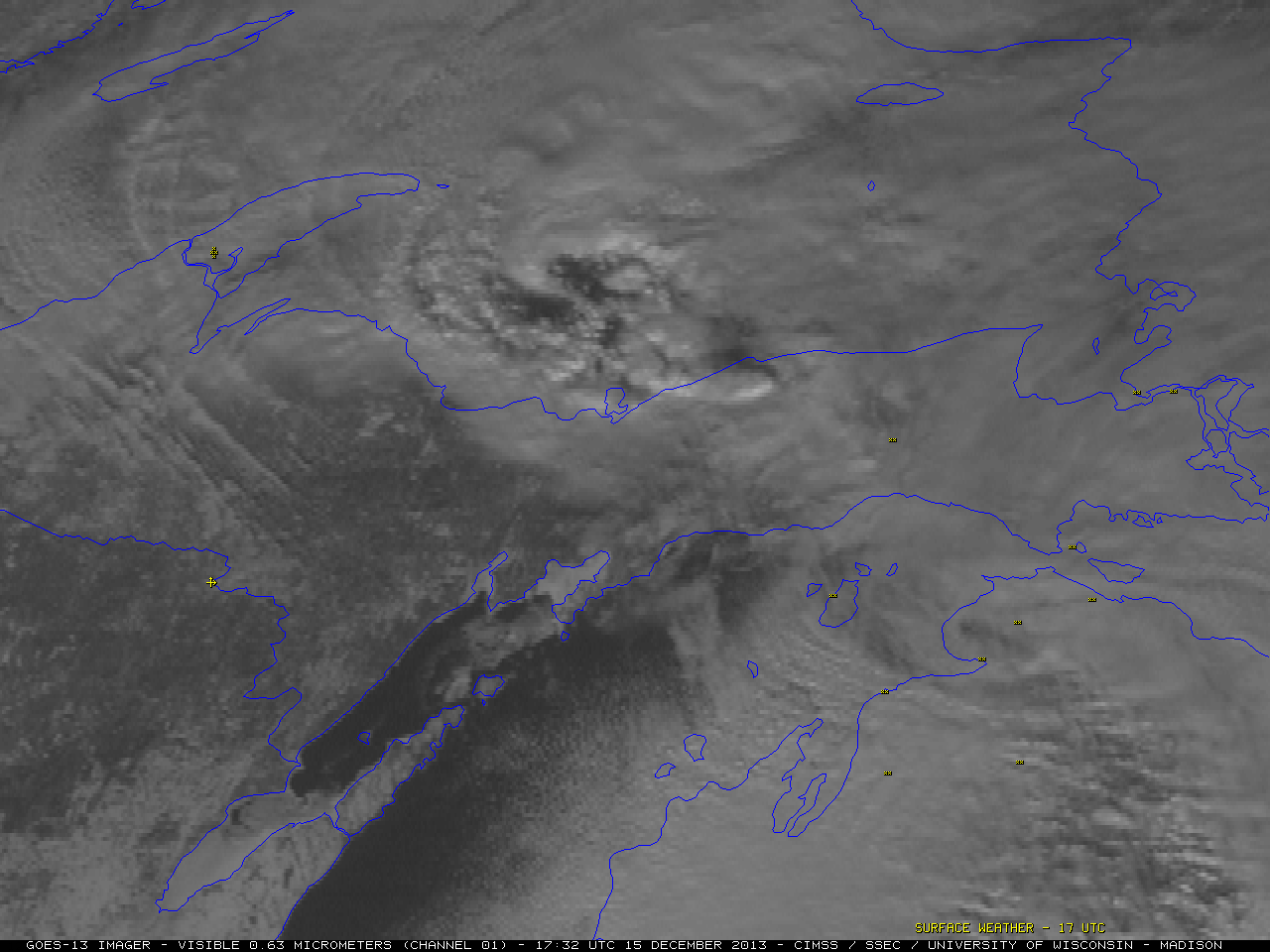
McIDAS images of GOES-13 0.63 µm visible channel data (above; click image to play animation) revealed a well-defined mesovortex moving southeastward across the southern part of Lake Superior during the day on 15 December 2013. As the feature approached the Upper Peninsula of... Read More

Strong storm in the North Atlantic Ocean

A large and strong cyclone was intensifying in the North Atlantic Ocean just south of Greenland on 12 December 2013. GOES-13 6.5 µm water vapor channel images with 06 UTC, 12 UTC, 18 UTC, and 00 UTC surface analyses and surface reports (above) showed that the central pressure of the... Read More

Super Typhoon Usagi

McIDAS images of MTSAT-2 10.8 µm IR channel data (above; click image to play animation) showed Super Typhoon Usagi in the West Pacific Ocean as it continued to move northwestward across the Philippine Sea. Note the slight amount of “trochoidal wobble” seen in the path of the eye. The coldest... Read More