Category: Satellite winds
Post-Tropical Cyclone Kiko north of Hawai’i
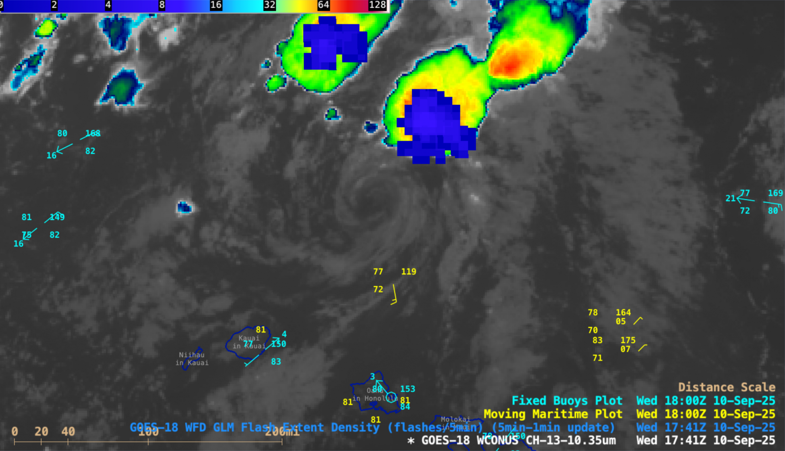
5-minute CONUS Sector GOES-18 (GOES-West) Infrared images (above) revealed the exposed low-level circulation center (LLCC) of Tropical Storm Kiko as the system continued to weaken north of the Hawaiian island of Oahu, and downgraded to a Post-Tropical Cyclone at 1500 UTC on 10 September 2025. Clusters of deep convection developed north... Read More
Hurricane Erin reaches Category 5 intensity north of the Leeward Islands
1-minute Mesoscale Domain Sector GOES-19 (GOES-East) Visible and Infrared images (above) showed the WNW motion of the eye of Hurricane Erin during a 7-hour period as the tropical cyclone rapidly intensified from a Category 4 storm at 0950 UTC to a Category 5 storm at 1520 UTC, north of the Leeward Islands on... Read More
Tropical Depression 2 becomes Tropical Storm Barry in the far southwestern Gulf of Mexico
1-minute Mesoscale Domain Sector GOES-19 (GOES-East) Infrared and Visible images (above) showed persistent deep convection (with sporadic lightning activity) near the center of circulation of Tropical Depression 2 (TD2), which developed in the Bay of Campeche (just off the coast of Mexico) around 2100 UTC on 28 June 2025. Periodic convective bursts contained... Read More