Barbara and Cosme in the eastern Pacific Ocean
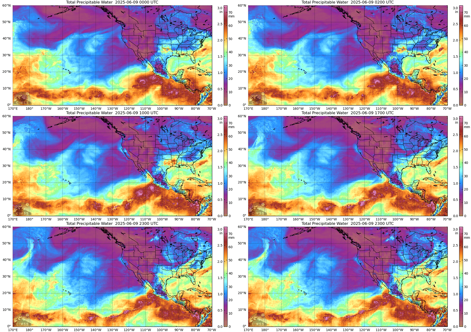
GOES-West true color imagery, above, from the CSPP Geosphere site (link), shows Hurricane Barbara northeast of Tropical Storm Cosme in the eastern Pacific. Active convection is apparent over both storm centers during the course of the day. What does the future hold for these storms? MIMIC Total Precipitable Water (source), below, shows the storms within a band of rich moisture, but forecasts paths for both are towards the north and drier air.

The predicted path of the storms is over much colder water. Do not expect to hear much about these storms by the end of the week!

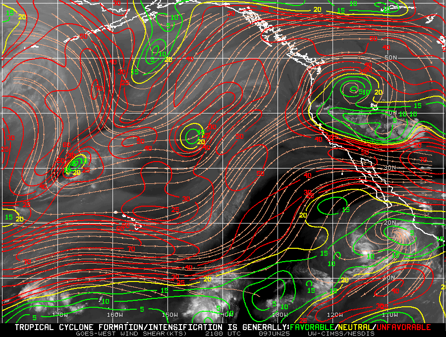
Both storms are within a band of relatively low shear as shown below. It is increasingly cool SSTs along the storm paths, and an increasingly dry atmosphere, that will be controlling the intensity of these storms in the near future.

HYSAT and OCEANSAT scatterometers both sampled both storms on 9 June, as shown in the toggle below. HYSAT overflew the storms at 1358 UTC and OCEANSAT overflew at 2014 UTC. Both show the cyclonic circulation centers. Barbara’s center is moving northwest whereas Cosme’s is moving west-northwest.

For more information on these storms, refer to the National Hurricane Center. In addition, the SSEC/CIMSS Tropical Weather site has dedicated pages for both Barbara and Cosme.

