Nice satellite views of the Vancouver, British Columbia region
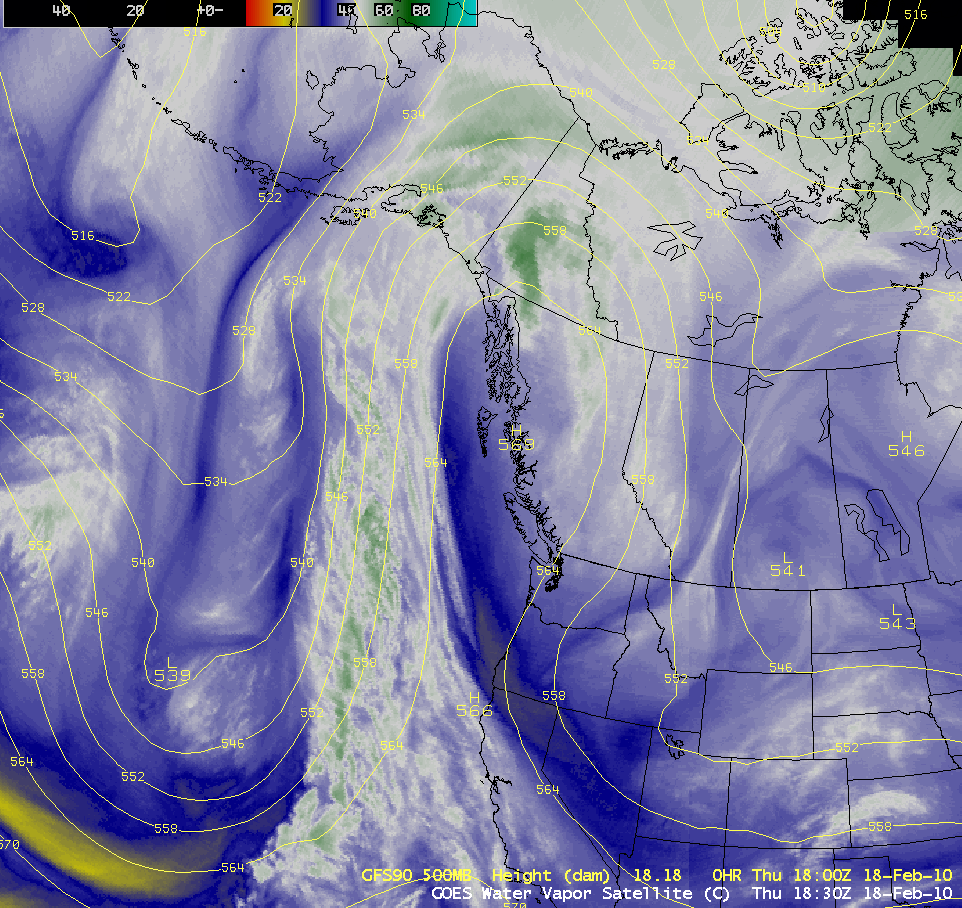
With an elongated ridge of high pressure in place along the British Columbia coast on 18 February 2010, nearly cloud-free conditions allowed for some nice satellite views of the Vancouver, British Columbia area (the site of the 2010 Winter Olympics). McIDAS images of GOES-13 visible channel data (above) showed the widespread snow-covered mountains that occupied... Read More
