SAR data for winds and ice over the Great Lakes
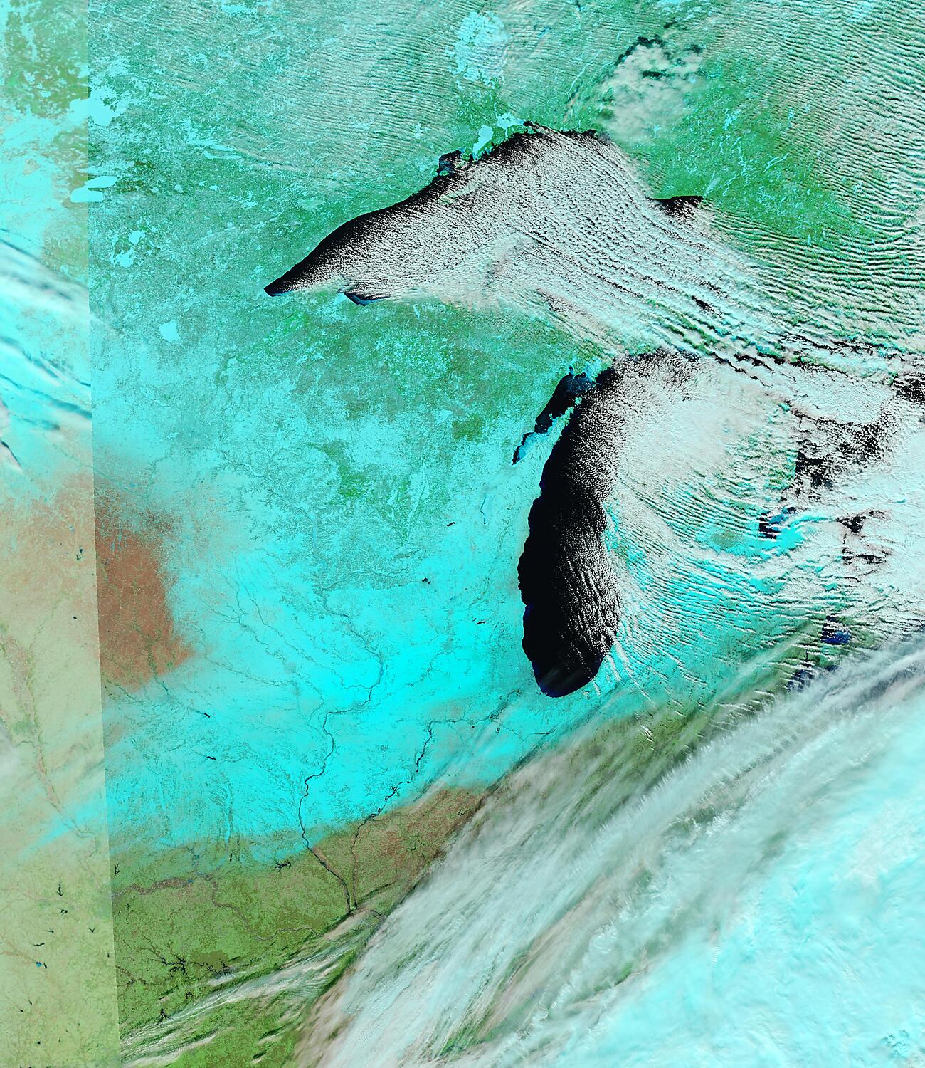
Data from this site shows SAR observations over the Great Lakes daily around 0000 and 1200 UTC. The image above shows SAR data over Lake Superior just before 1200 UTC on 10 January. The background flow used in processing shows strong northwesterly winds. Note the relative calm in the lee of... Read More