Subtropical Storm Wanda in the North Atlantic

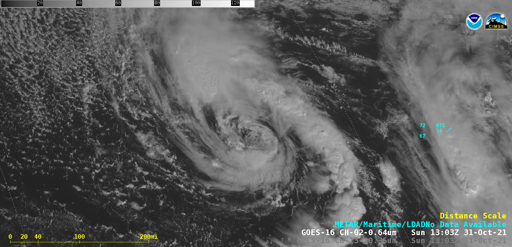
GOES-16 “Red” Visible (0.64 µm) and “Clean” Infrared Window (10.35 µm) images [click to play animated GIF | MP4]
1-minute Mesoscale Domain Sector GOES-16 (GOES-East) “Red” Visible (0.64 µm) and “Clean” Infrared Window (10.35 µm) images (above) showed areas of deep convection near the center of Subtropical Storm Wanda over the North Atlantic Ocean on 31 October 2021. The circulation of a “Nor’easter” mid-latitude cyclone on 26-27 October (storm summary) remained intact long enough to begin acquiring subtropical characteristics on 31 October (surface analyses: GIF | MP4].
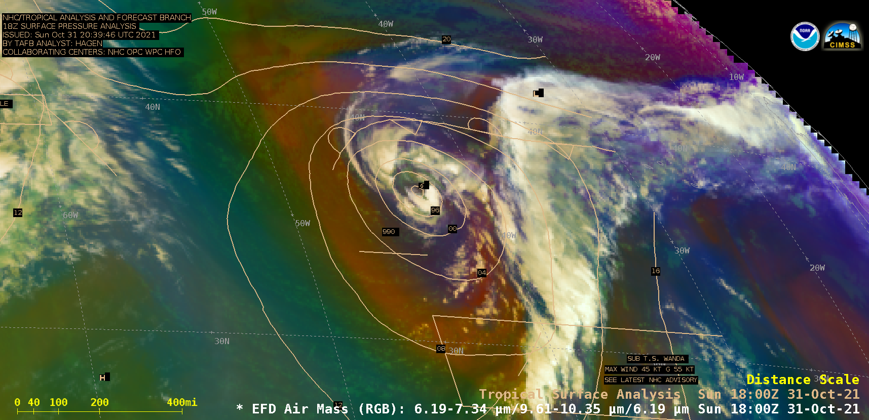
GOES-16 Air Mass RGB images (below) indicated that while the core of Wanda had become separated from nearby baroclinic surface frontal boundaries, the system was still located beneath a middle- to upper-tropospheric trough of low pressure (500 hPa height) — so it was not yet a true tropical cyclone. Wanda did transition to a Tropical Storm on 02 November.

GOES-16 Air Mass RGB images, with and without surface analysis plots [click to play animated GIF | MP4]

