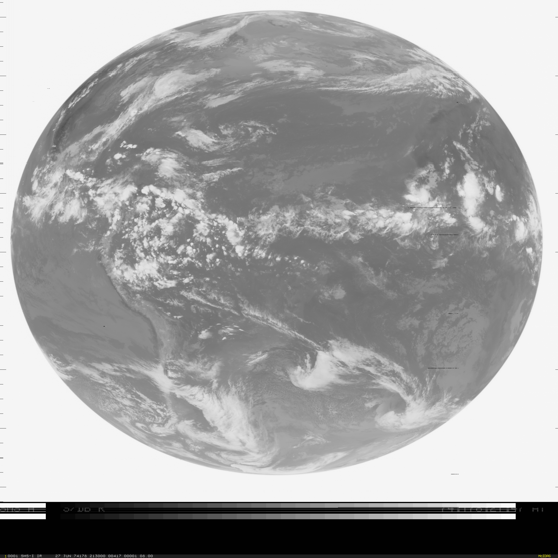
Category: Other Satellites
Hurricane Cristina
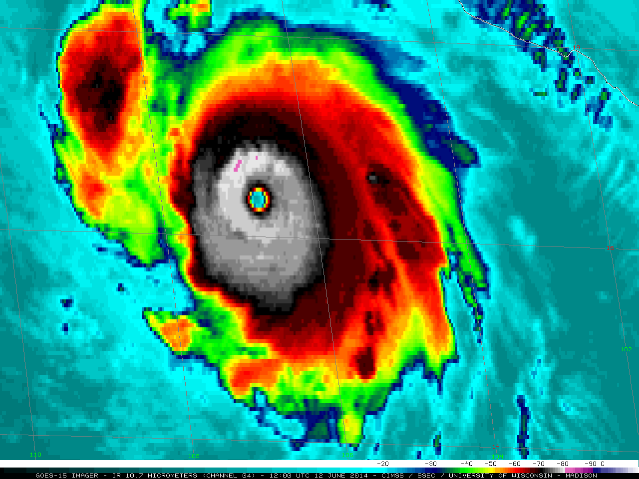
A tire series plot of the CIMSS Advanced Dvorak Technique (above) showed that Hurricane Cristina experienced a period of very rapid intensification during the day on 12 June 2014. Hurricane Cristina reached Category 4 status, making this the first... Read More
Severe Tropical Cyclone Ita
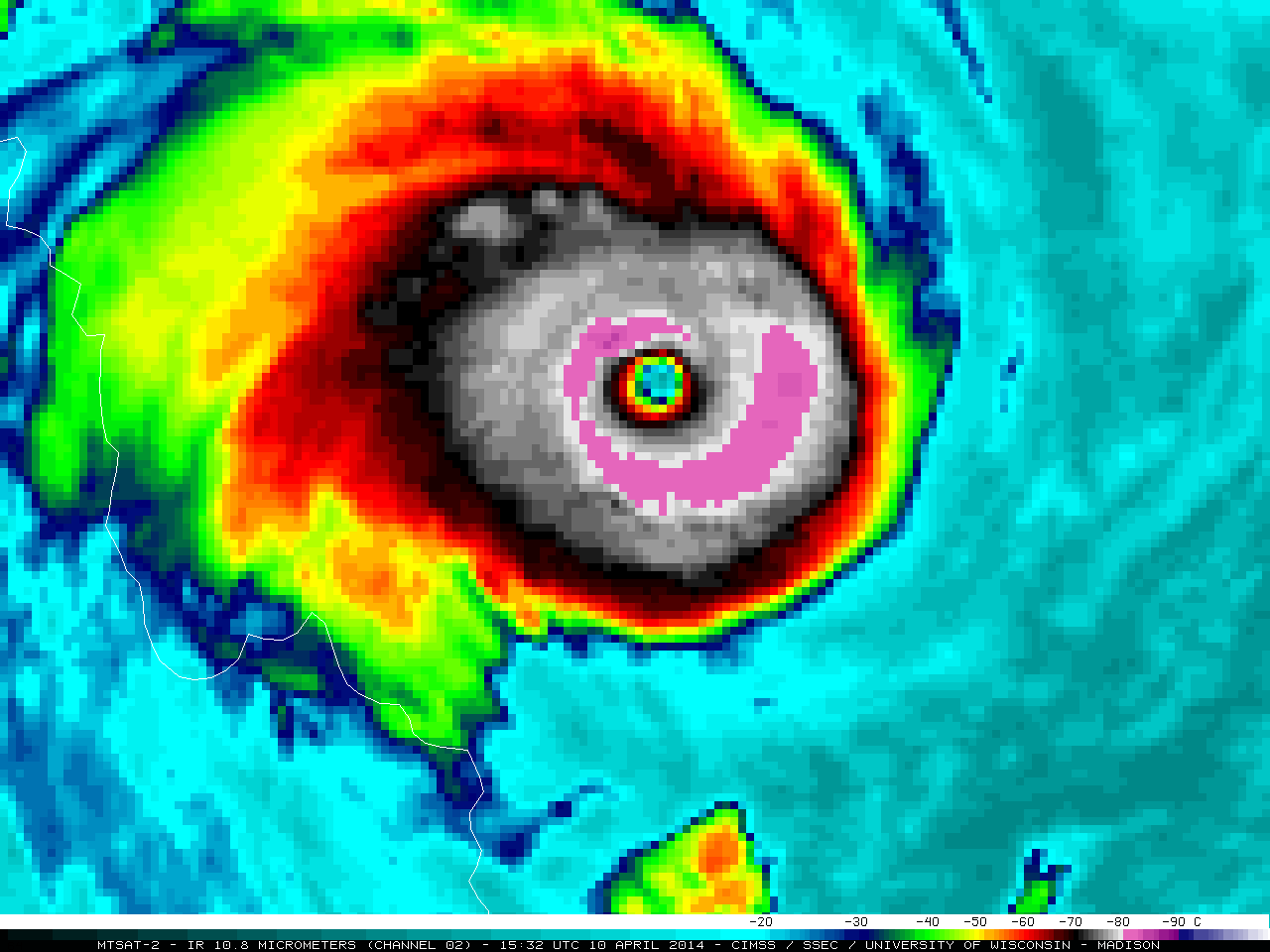
McIDAS images of MTSAT-2 10.8 µm IR channel data (above; click image to play animation) showed the development of a distinct eye associated with Intense Cyclone Ita (23P) as it moved southwestward across the Coral Sea toward the coast of Queensland, Australia on 10-11 April 2014. Cyclone Ita exhibited a... Read More
Re-suspended ash from the Katmai volcano in Alaska
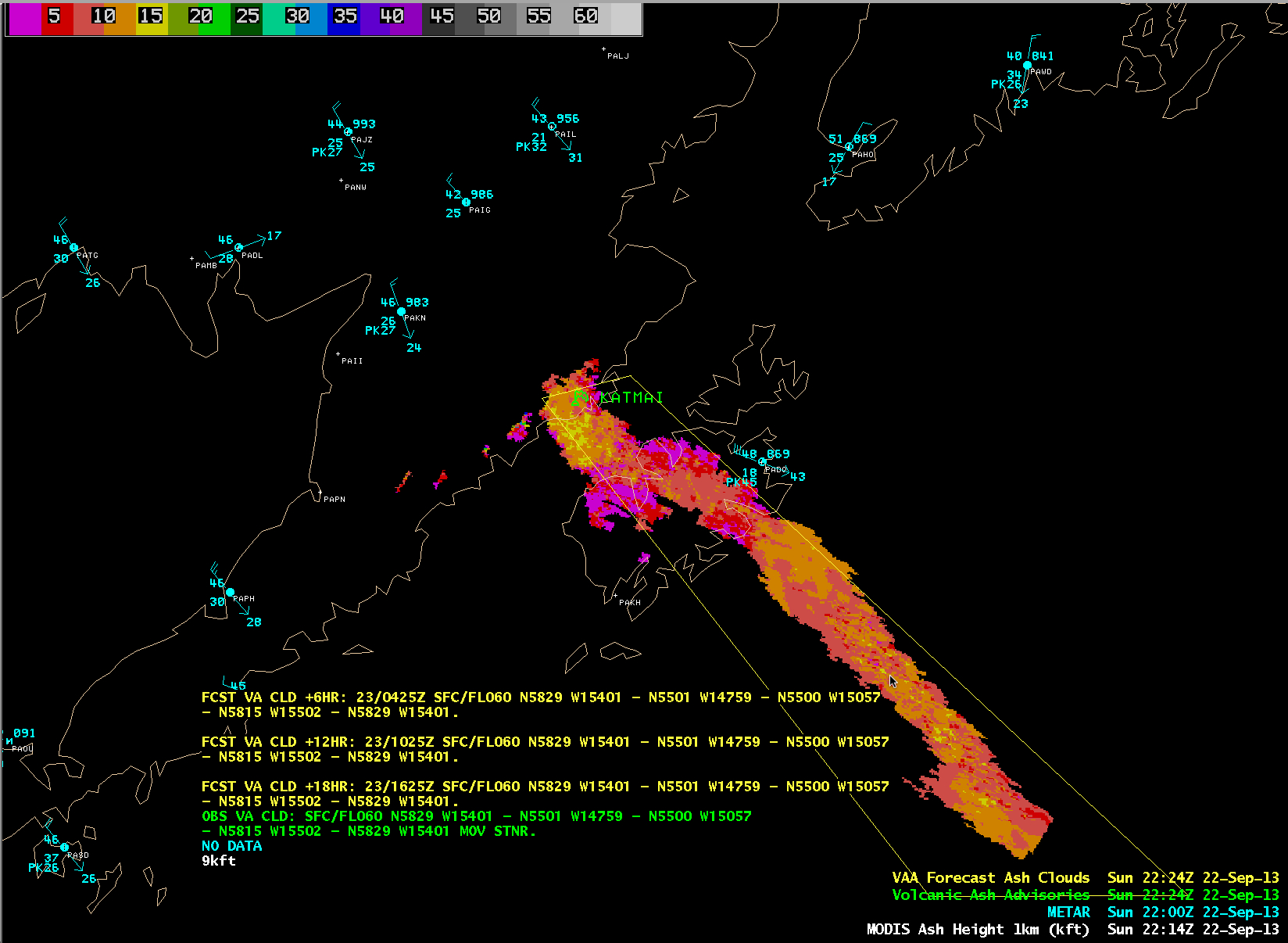
GOES-15 0.63 µm visible channel images (above; click image to play animation) showed a distinct hazy plume streaming southeastward from the Katmai volcano area in Alaska on 22 September 2013. This was a signature of re-suspended volcanic ash — a deep layer of ash has remained on the ground near... Read More
