Super Typhoon Hagupit
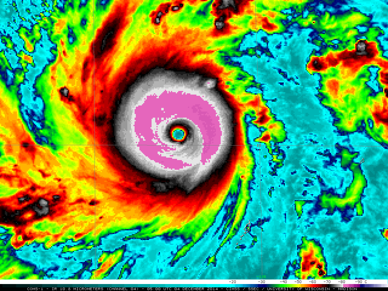
As seen on a plot of the Advanced Dvorak Technique (ADT) intensity estimation (above), Typhoon Hagupit underwent a period of rapid intensification in the West Pacific Ocean late in the day on 03 December 2014, reaching Super Typhoon (Category 5) intensity on 04 December. During... Read More
