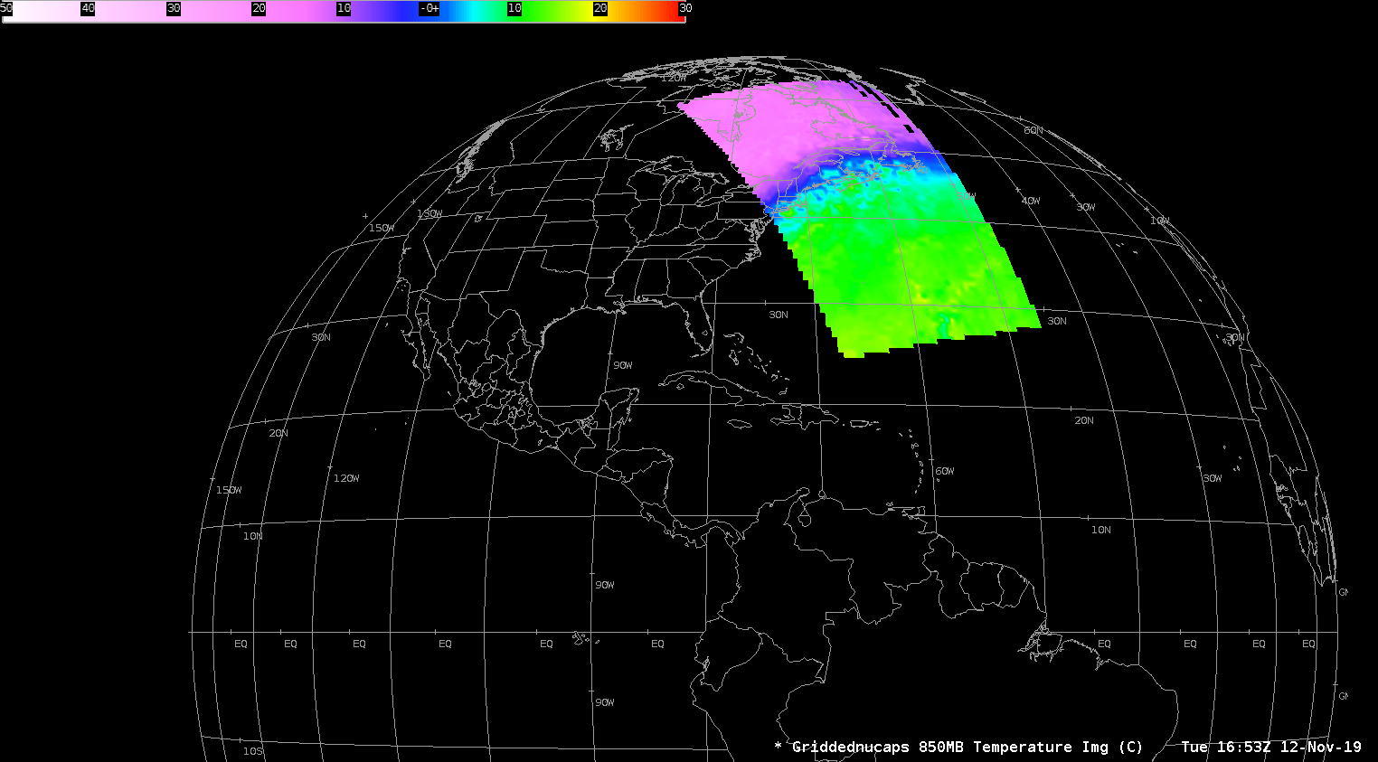
Cold air over the Upper Midwest
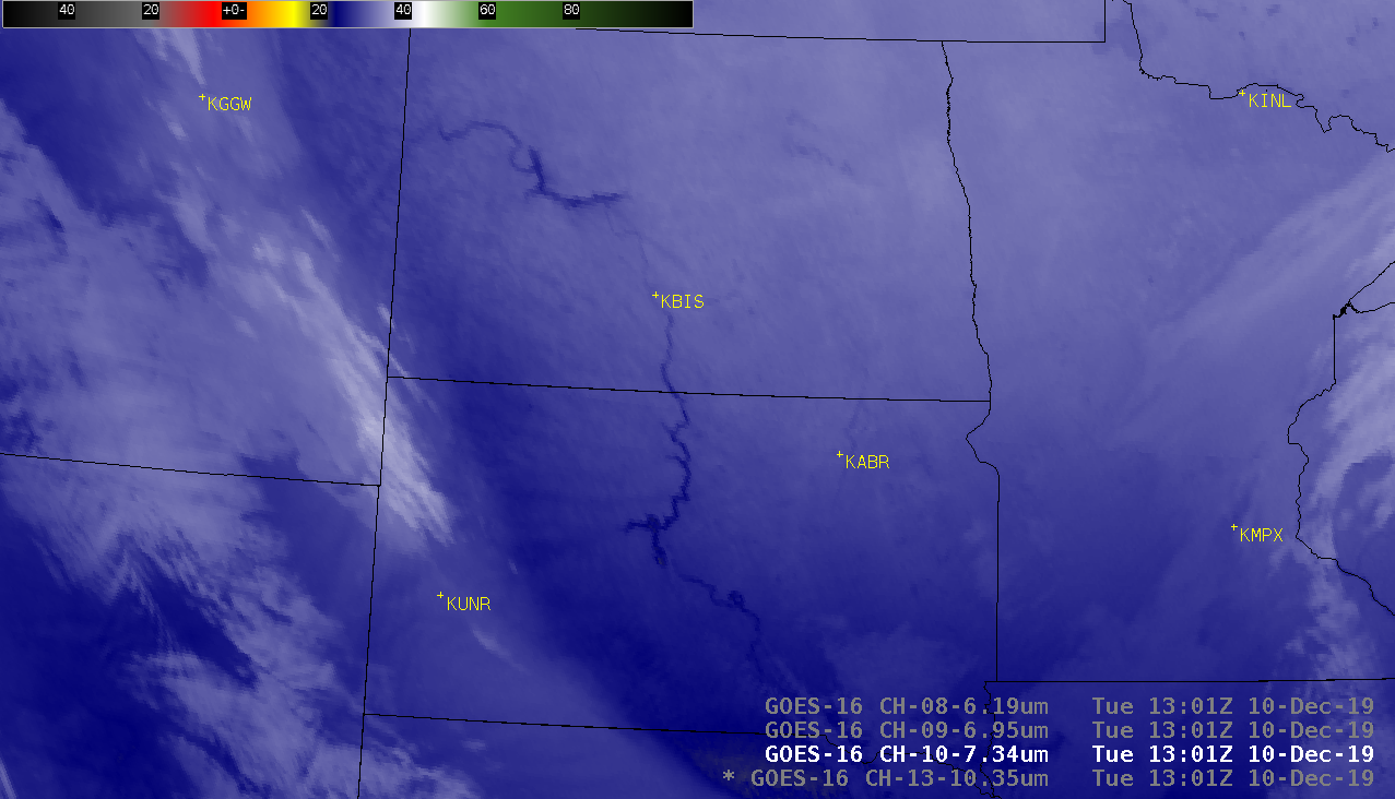
GOES-16 (GOES-East) “Clean” Infrared Window (10.35 µm) images (above) showed pockets of cold surface brightness temperatures — darker blue represented the -30 to -35ºC (-22 to -31ºF) range — over parts of North Dakota during the 4 hours leading up to sunrise on 10 December 2019. As of 12 UTC, the coldest locations... Read More