Warm patch of water in Lake Michigan

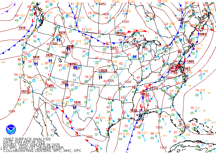
Light winds and clear skies with High Pressure over the western Great Lakes fostered the development of a warm(ish) patch of water over central Lake Michigan on 6 April 2025. (This has happened before!) Light winds means little vertical mixing in the surface layer of the lake, and solar insolation can heat the water. The... Read More

