Disturbed weather near the Samoan Islands
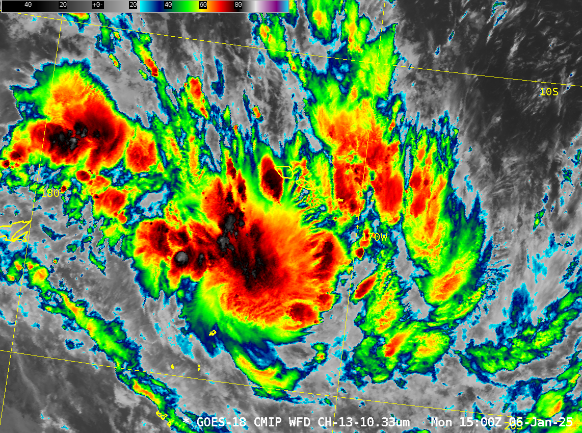
Hourly GOES-18 infrared imagery (10.3 µm), above, shows the development of strong convection to the south of the Samoan Islands during the morning hours of 6 January (on American Samoa) or 7 January (Independent Samoa). Is this the start of a tropical system? Total Precipitable Water (MIMIC TPW) imagery from microwave data,... Read More


