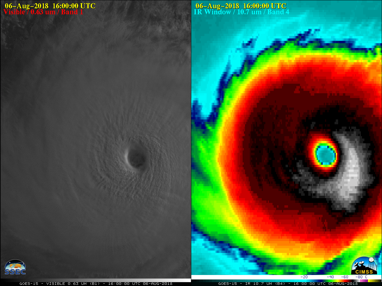
This website works best with a newer web browser such as Chrome, Firefox, Safari or Microsoft Edge. Internet Explorer is not supported by this website.

Category: Metop

Hurricane Matthew

Early morning visible imagery over Matthew, above, from GOES-13, shows a circular storm with many overshooting tops and no apparent eye. However, Microwave imagery, below, from GCOM at about 0620 UTC, shows an eye structure beneath the clouds. (Information on AMSR-2 is here; Imagery was produced using Polar2Grid, part of... Read More

Hurricane Hermine

Hermine was upgraded to a Hurricane over the Gulf of Mexico around 20 UTC on 01 September 2016. GOES-13 (GOES-East) Visible (0.63 µm) images (above) showed improvement in the appearance of curved banding structures around the eye late in the day. The GOES-13 satellite had been placed into Rapid Scan... Read More