This website works best with a newer web browser such as Chrome, Firefox, Safari or Microsoft Edge. Internet Explorer is not supported by this website.

Category: Metop

Hurricane Hector

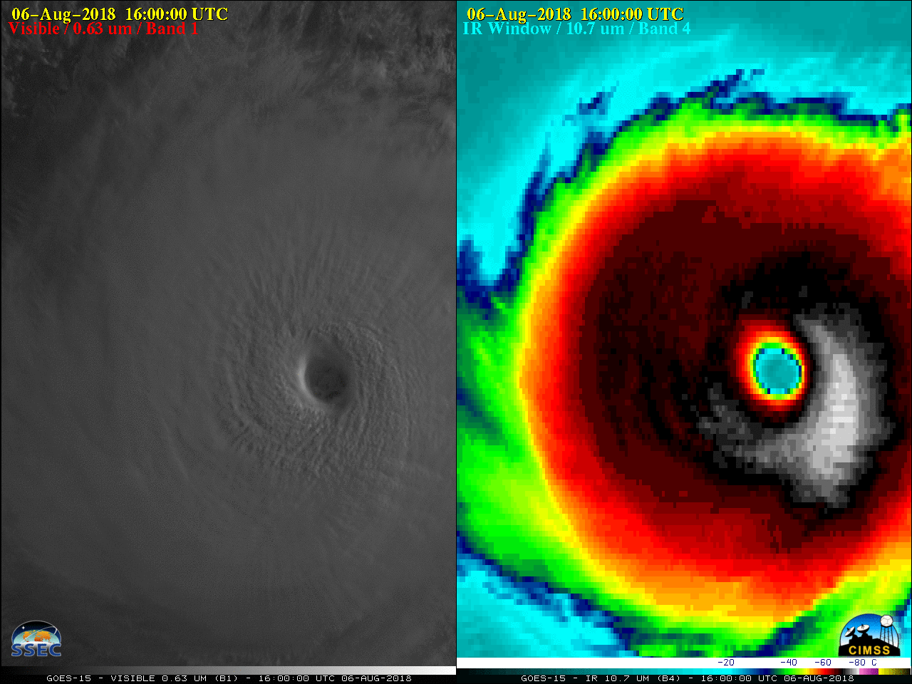
* GOES-17 images shown here are preliminary and non-operational *A toggle between NOAA-20 and Suomi NPP VIIRS Infrared Window (11.45 µm) images (above; courtesy of William Straka, CIMSS) showed the well-defined eye of Hurricane Hector after it had reached Category 4 intensity on 06 August 2018 (advisories: EPAC | CPAC).GOES-17... Read More

ACSPO SSTs in AWIPS at WFO Guam

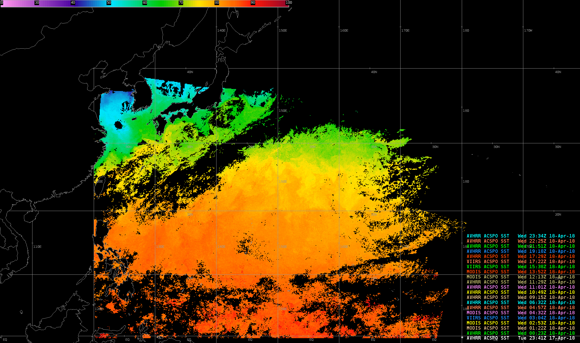
Sea Surface Temperatures (SSTs) produced from the Advanced Clear-Sky Processor for Oceans (ACSPO) are now being created in real time at the National Weather Service Forecast Office on Guam (where the National Weather Service day begins). The algorithm is applied to data broadcast from polar orbiter satellites and received at the Direct Broadcast antenna sited at the forecast office.  (Link to CSPP ACSPO Algorithm) Because there are... Read More