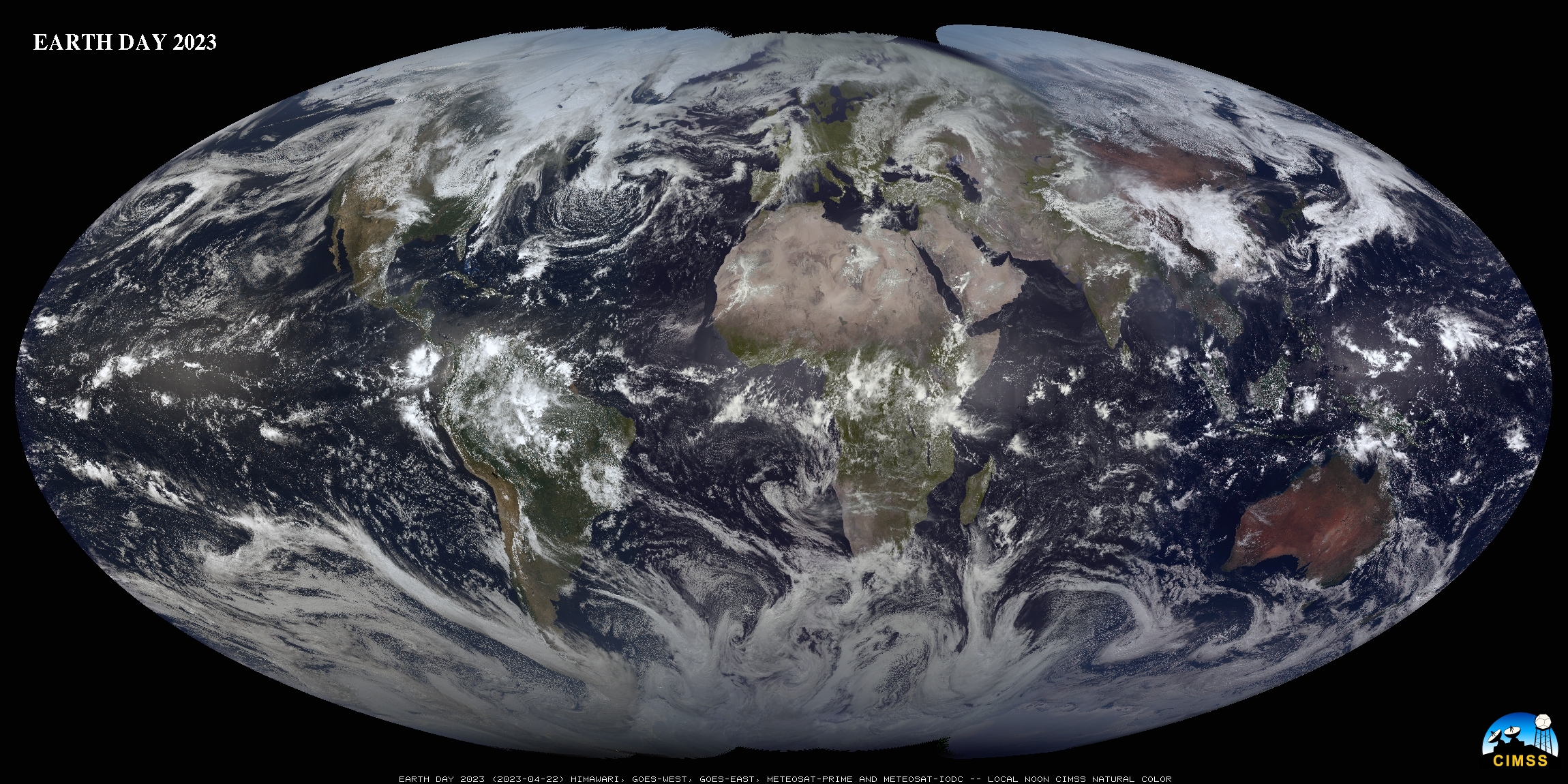
This website works best with a newer web browser such as Chrome, Firefox, Safari or Microsoft Edge. Internet Explorer is not supported by this website.

Category: Meteosat

Cyclone Eunice moves through Europe

A storm named Eunice has developed over the British Isles and is causing severe winds, up to 122 mph observed at the surface. The storm is associated with a very active jet stream in the North Atlantic. Eunice follows another storm, Dudley, that hit England, Ireland, and Scotland on Wednesday... Read More

Cyclone Shaheen makes landfall in Oman

US Space Force EWS-G1 (formerly GOES-13) Infrared Window (10.7 µm) images (above) showedHurricane Shaheen weakening to a Tropical Storm shortly after it made a rare landfall along the coast of Oman on 03 October 2021. The storm exhibited an eye at times as it was a Category 1 Hurricane over... Read More

Local Noon imagery near the Equinox

SSEC/CIMSS scientists (notably Rick Kohrs) create daily imagery that blends vertical strips of true-color imagery at local Noon, starting near the dateline and proceeding westward. A year-long animation of this product is available here, and was discussed on this blog previously here (and here). Recent images are available at this website... Read More