LightningCast probabilities in the cool season
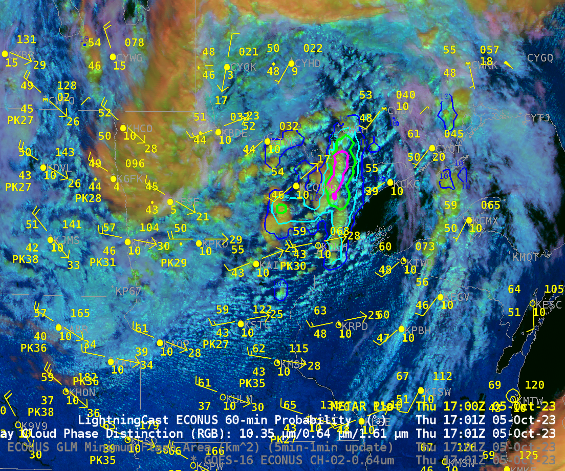
Seasonably cool Fall-like temperatures overspread the western Great Lakes and northern Plains on 5 October. The animation above shows the Day Cloud Phase Distinction overlain with LightningCast probability from 1321-1721 UTC on 5 October (that is, 8:21-12:21 CDT). SPC on this day was anticipating general thunder over northern Minnesota. Given that,... Read More
