Early-season winter storm in the Northern Plains
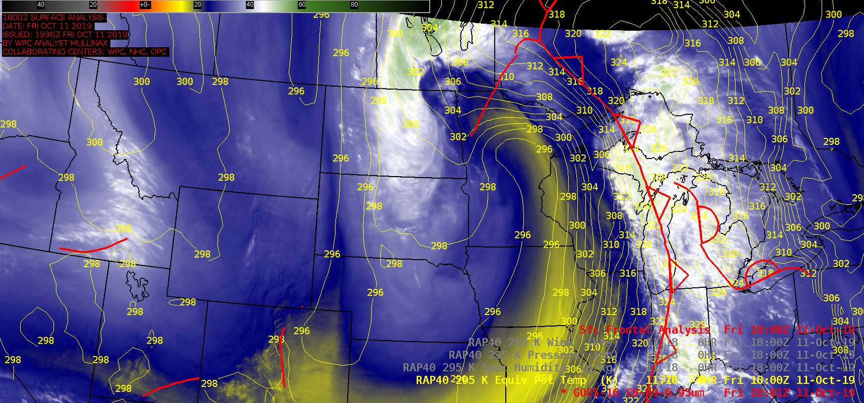
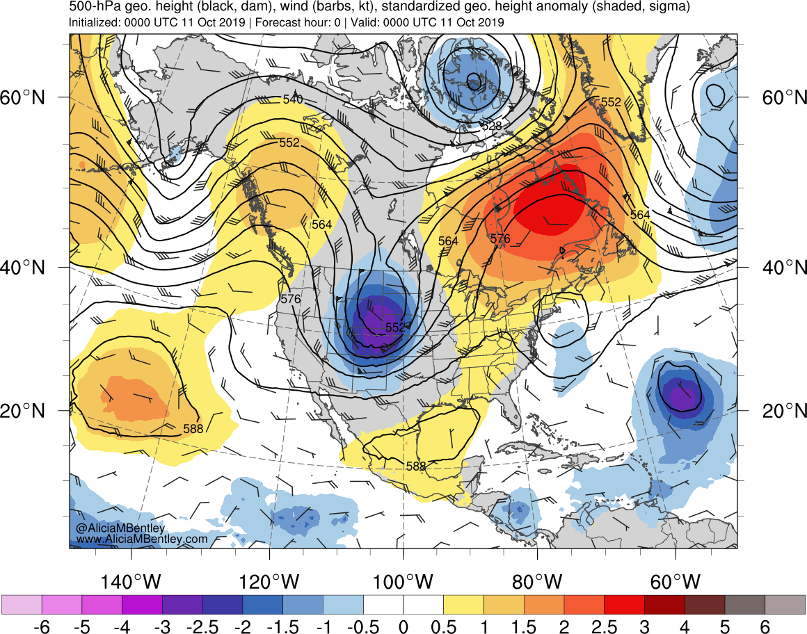
With the approach of an anomalously-deep 500 hPa low, an early-season winter storm produced very heavy snowfall and blizzard conditions across the Northern Plains — particularly in central/eastern North Dakota and southern Manitoba — during the 10 October – 12 October 2019 period. GOES-16 (GOES-East) Mid-level Water Vapor (6.9 µm) images (above) showed the long duration of precipitation... Read More
