Thunderstorms over the Chukchi Sea and Beaufort Sea north of Alaska
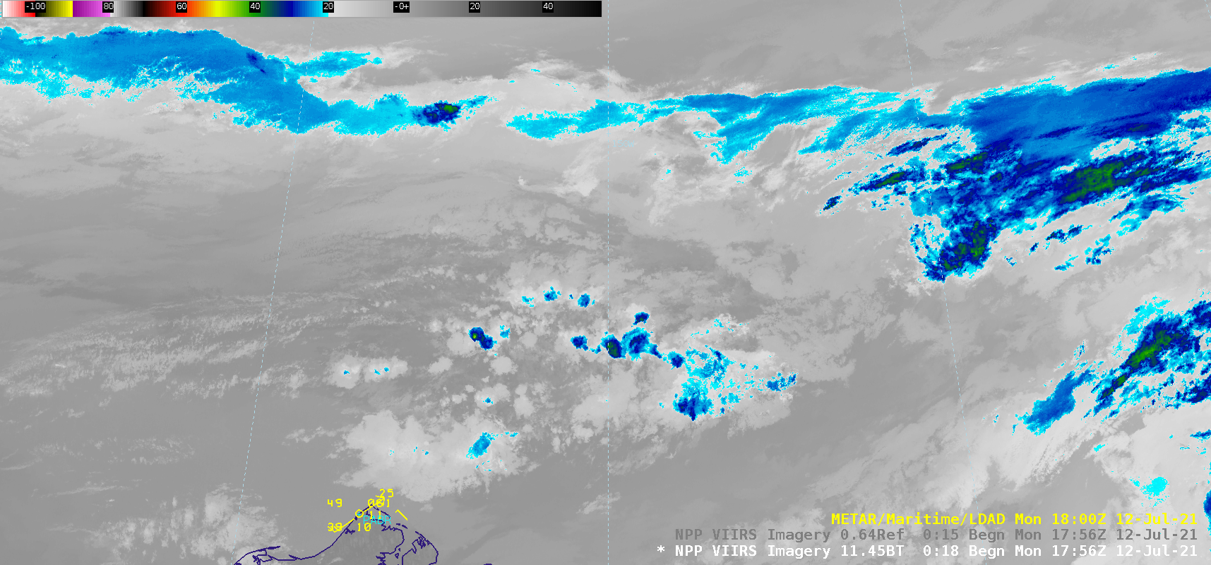
A sequence of Suomi-NPP VIIRS Infrared Window (11.45 µm) and Visible (0.64 µm) images (above) showed snapshots of thunderstorms over parts of the Chukchi Sea and the Beaufort Sea off the northern coast of Alaska on 12 July 2021. The coldest convective cloud-top infrared brightness temperatures were in the -30... Read More
