Thunderstorms over the Chukchi Sea and Beaufort Sea north of Alaska
![Suomi NPP VIIRS Infrared Window (11.45 µm) and Visible (0.64 µm) images [click to play animation | MP4]](https://cimss.ssec.wisc.edu/satellite-blog/images/2021/07/210712_suomiNPP_viirs_infrared_visible_Chukchi_Sea_Beaufort_Sea_convection_anim.gif)
Suomi-NPP VIIRS Infrared Window (11.45 µm) and Visible (0.64 µm) images [click to play animation | MP4]
There were 6 lightning strikes in Alaska today, and 159 over the sea ice in the Beaufort Sea. #akwx @AlaskaWx pic.twitter.com/PL8i17gR3Z
— Brian Brettschneider (@Climatologist49) July 13, 2021
Update on thunderstorms rumbling across across the Chukchi & Beaufort Seas on July 12. All this is occurring over high concentration sea ice as unstable air from Siberia is pushed eastward by a deep storm center farther north. #akwx #Arctic #lightning @Climatologist49 pic.twitter.com/8Ef78IOJRF
— Rick Thoman (@AlaskaWx) July 13, 2021
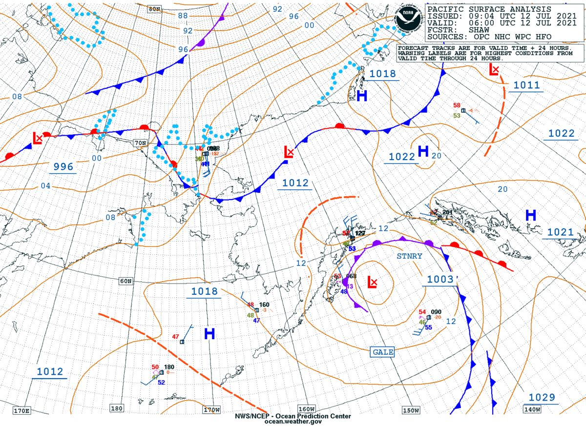
These thunderstorms were not surface-based — instead, they were forced by an approaching cold front (surface analyses) which helped to release elevated instability within the 500-300 hPa layer (below).
![Suomi NPP VIIRS Infrared Window (11.45 µm) images, with contours of NAM40 lapse rate within the 500-300 hPa layer [click to enlarge]](https://cimss.ssec.wisc.edu/satellite-blog/images/2021/07/210712_suomiNPP_viirs_infrared_500_300_lapse_rate_anim.gif)
Suomi NPP VIIRS Infrared Window (11.45 µm) images, with contours of NAM40 lapse rate within the 500-300 hPa layer [click to enlarge]
![NUCAPS profile near thunderstorms off the northern coast of Alaska [click to enlarge]](https://cimss.ssec.wisc.edu/satellite-blog/images/2021/07/210712_15utc_nucaps_profile_Arctic_Ocean_convection.png)
NUCAPS profile near thunderstorms off the northern coast of Alaska [click to enlarge]