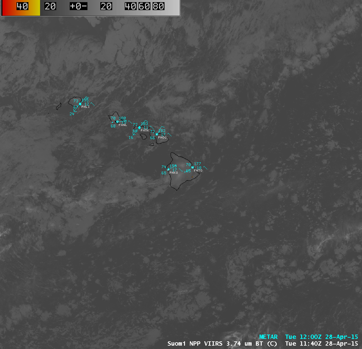
Himawari-8 imagery of Tropical Depression 24S / Cyclone Quang northwest of Australia
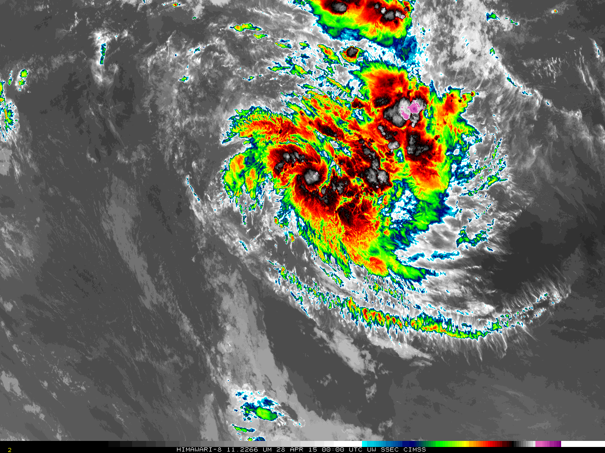
The 10-minute full-disk imagery that is available from Himawari-8 captures the evolution of Tropical Depression 24S northwest of Australia. Convection is evolving on time-scales of 10 minutes or less, so the high temporal resolution is vital to describing the storm evolution. Of particular note are the development (and decay) of... Read More