GOES-14 in SRSO-R Scanning
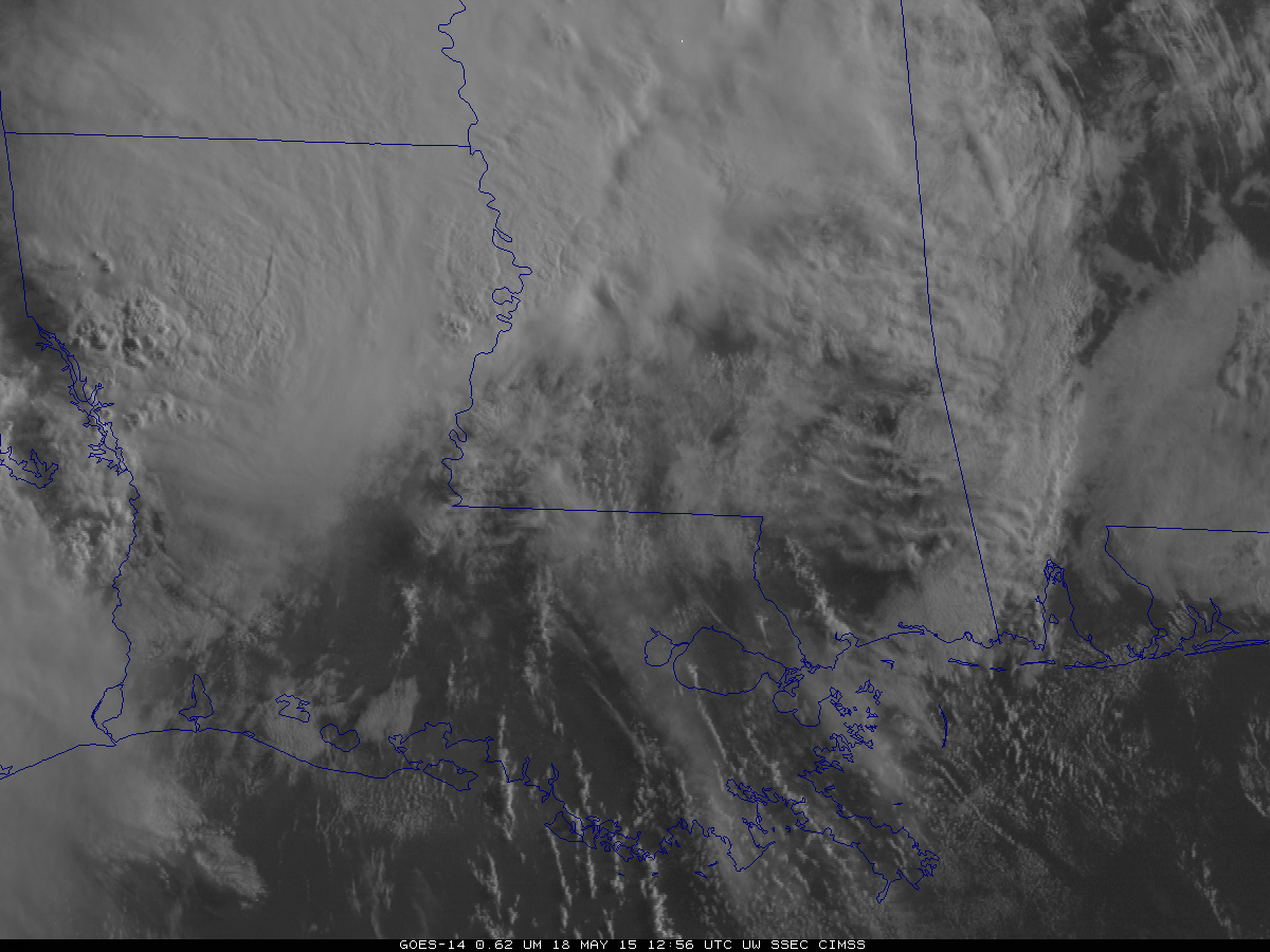
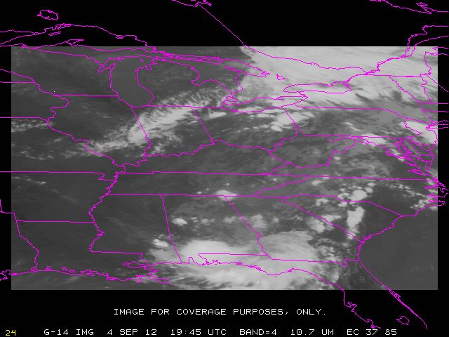
GOES-14 is producing imagery at 1-minute intervals as part of Super-Rapid Scan Operations for GOES-R (SRSO-R). Sectors that are scanned change each day and are determined by likely weather events. The animation above, in the southwest corner of the Monday May 18 sector shows strong convection over northern Louisiana. (A similar animation in mp4 format is available here... Read More
