MODIS false-color images show areas of flooding in Montana
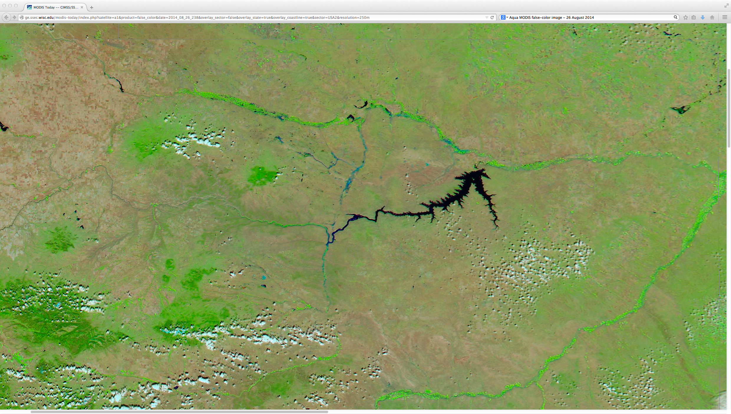
Some locations in northeastern Montana received up to 7-8 inches of rainfall over a 5-day period (NWS Glasgow rainfall map), which led to flooding in many areas. A comparison of before (12 August) and after (26 August) 250-meter resolution MODIS false-color Red/Green/Blue... Read More
