This website works best with a newer web browser such as Chrome, Firefox, Safari or Microsoft Edge. Internet Explorer is not supported by this website.

Category: Heavy rain / flooding

Heavy rainfall across Hawai`i (along with a Severe Thunderstorm Warning and a Tornado Warning)

10-minute Full Disk scan GOES-18 (GOES-West) “Clean” Infrared Window (10.3 µm) + Total Precipitable Water (TPW) images (above) showed the colder clouds associated with rain showers (with isolated embedded thunderstorms) and the clear-sky TPW field in the vicinity of Hawai`i during the 08-09 January 2024 time period. Surface analyses depicted a cold frontal boundary — which became more... Read More

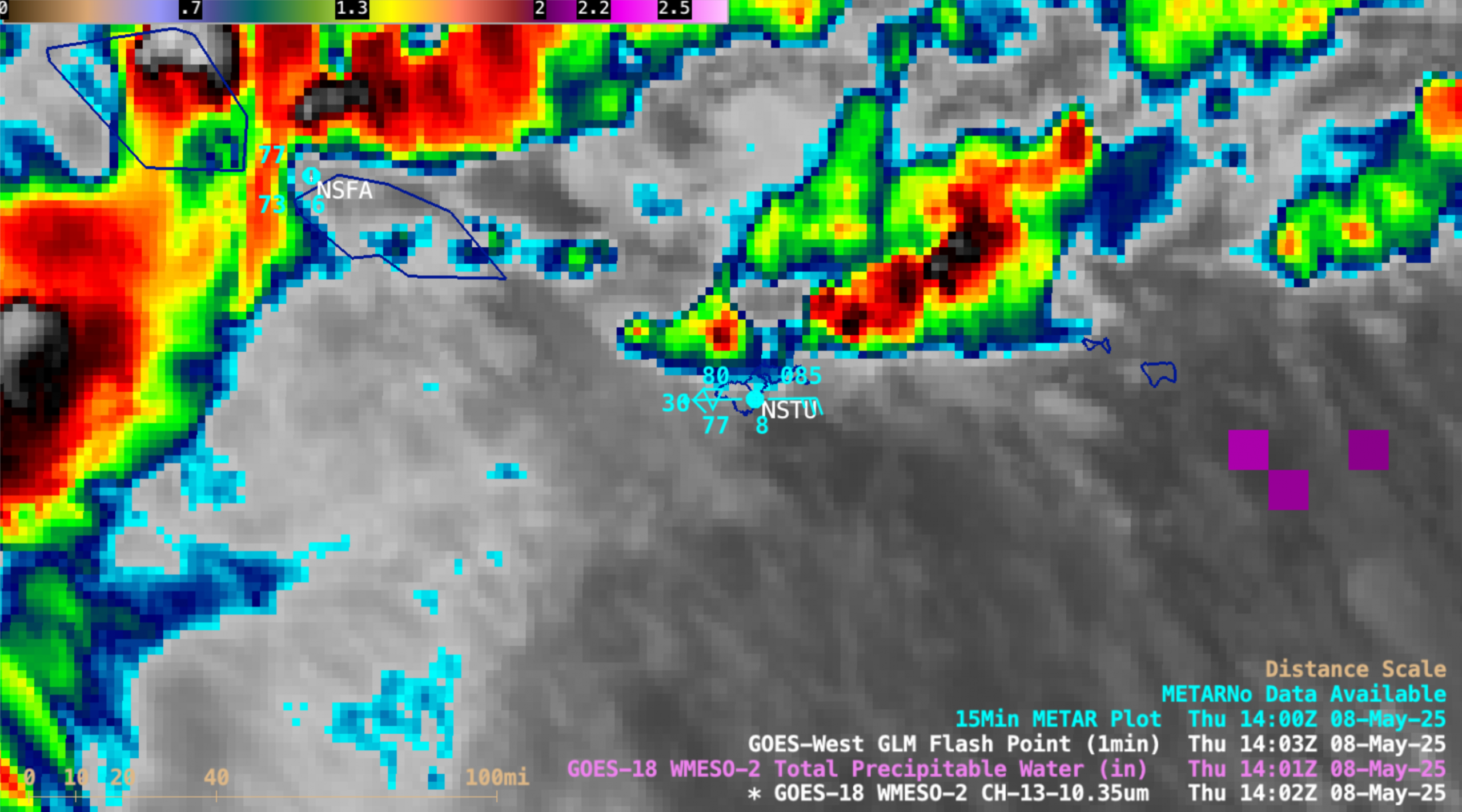
1-minute GOES-18 imagery to monitor ongoing heavy rainfall in American Samoa

As discussed in this blog post, heavy rainfall had continued across the Samoan Islands on 25 December 2023. The South Pacific Convergence Zone (SPCZ) remained in the vicinity of the Samoan Islands on that day (surface analyses) — and 1-minute Mesoscale Domain Sector GOES-18 (GOES-West) “Clean” Infrared Window (10.3 µm) images (above) showed additional pulses of deep convection that... Read More

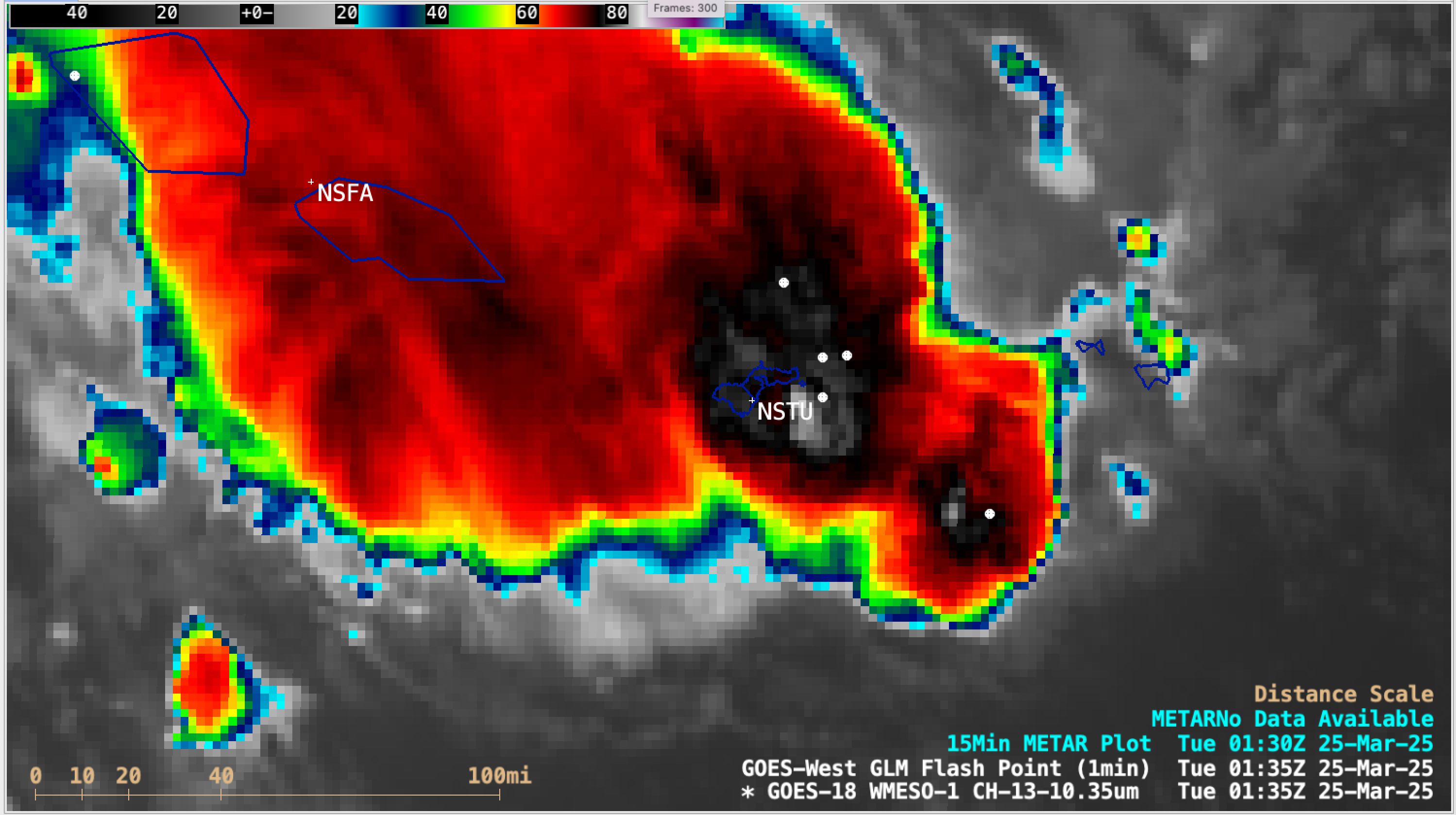
1-minute GOES-18 imagery to monitor ongoing heavy rainfall in American Samoa

As discussed in this blog post, heavy rainfall had been occurring across the Samoan Islands on 14 December 2023. The South Pacific Convergence Zone (SPCZ) remained in the vicinity of the Samoan Islands on 16 December (surface analyses) — and 1-minute Mesoscale Domain Sector GOES-18 (GOES-West) Infrared images (above) showed another round of deep convection that produced heavy... Read More

More rain over the Samoan Islands

Airmass RGB imagery every hour from 1000 UTC on 14 December through 1900 UTC on 15 December, below, overlain on top of GOES-18 Level 2 Total Preciptable Water, show strong convection in between Tutuila and the Manu’a islands of American Samoa mostly ending after 0000 UTC on 15 December, but... Read More