Nighttime Tornado in Los Angeles
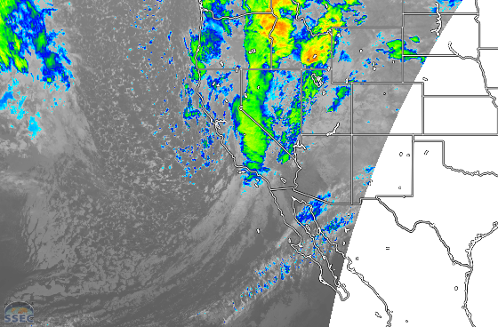
Early this morning at around 3:15 AM local time, an EF-0 tornado touched down in Pico Rivera, a community in Los Angeles County, California. It damaged several homes and knocked down numerous trees over the course of its mile-long path. Numerous instances of damaging winds were also reported, as seen... Read More
