GOES-17 Status and Transition to Operational GOES-West
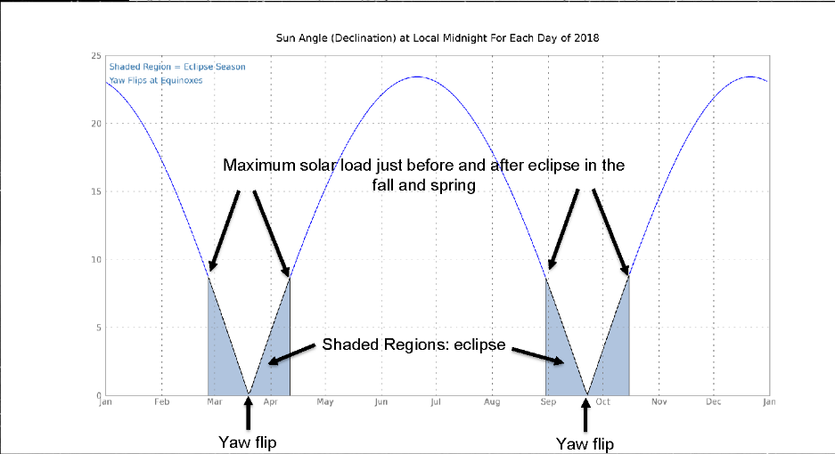
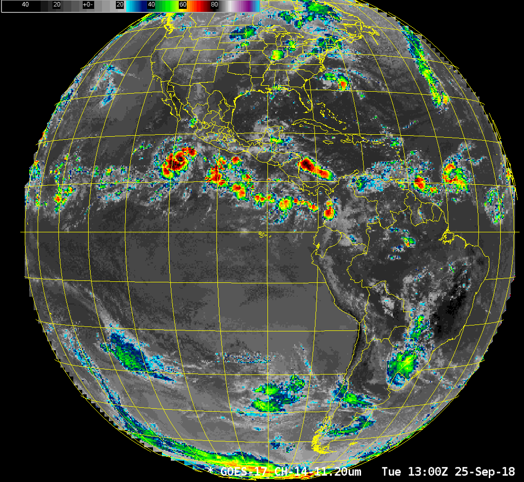
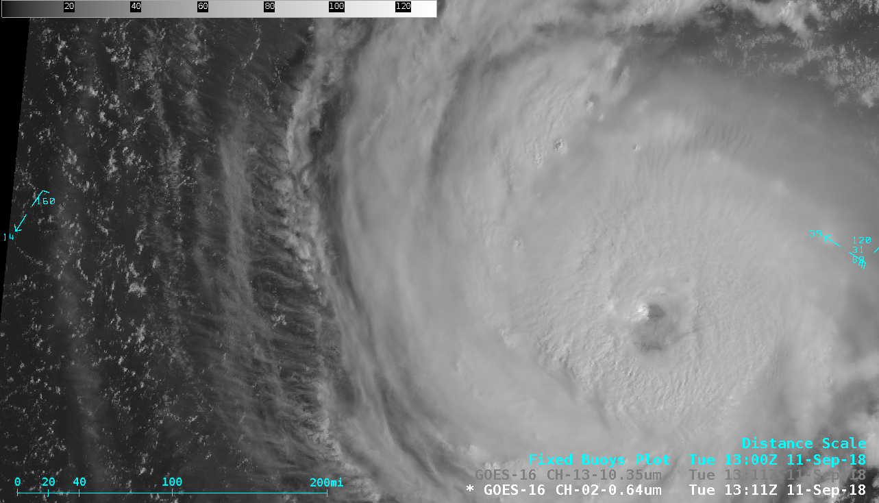
This blog post contains information on GOES-17 and its transition to the operational GOES-West satellite at 137º W Longitude (a link is here). Much as the Advanced Baseline Imager (ABI) imagery from GOES-17 is preliminary and non-operational, the information in this blog post is also preliminary, and it will be... Read More
