Mode 4 Testing for both GOES-16 and GOES-17
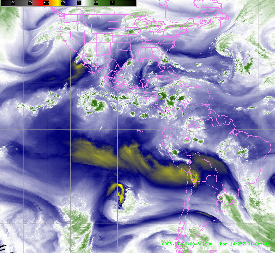
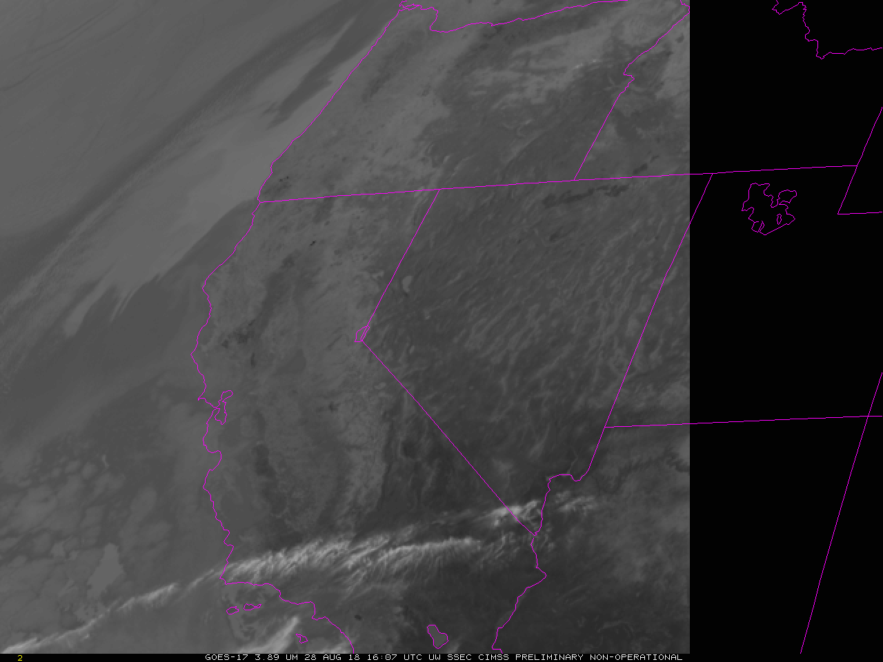
GOES-17 Data shown in this post are preliminary and non-operational.Continuous Full Disk (Mode 4) Testing is occurring on October 1 2018. Mode 4 is the highest data flow rate for the ABI and results in a Full Disk image every 5 minutes. No mesoscale sectors are produced during Mode 4... Read More

