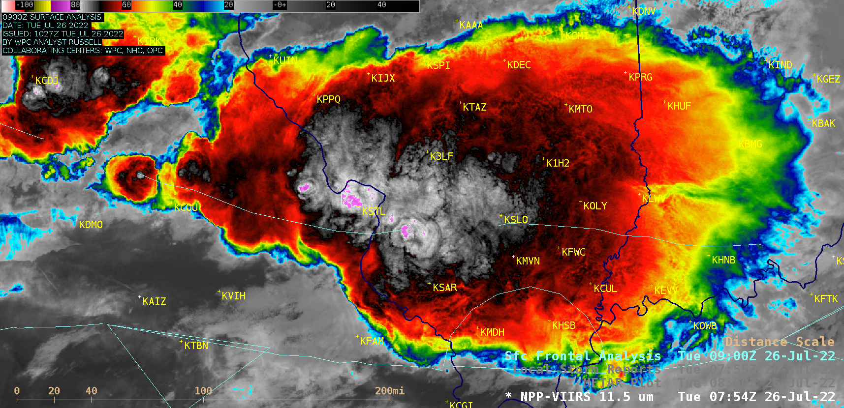
This website works best with a newer web browser such as Chrome, Firefox, Safari or Microsoft Edge. Internet Explorer is not supported by this website.

Stories by Scott Bachmeier

Heavy rainfall and flooding in eastern Kentucky

GOES-16 (GOES-East) “Clean” Infrared Window (10.35 µm) images (above) showed the development of multiple clusters of thunderstorms that were responsible for producing heavy rainfall and flash flooding across parts of eastern Kentucky during the nighttime hours leading up to sunrise on 28 July 2022. The coldest GOES-16 cloud-top infrared brightness temperature associated with these thunderstorms was -82.7ºC... Read More

Oak Fire in California

GOES-18 images shown in this blog post are preliminary and non-operationalGOES-17 (GOES-West) True Color RGB images created using Geo2Grid (above) showed the Oak Fire smoke plume as it spread northwestward across California on 24 July 2022. The Oak Fire has become the largest wildfire of California’s 2022 season.Overlapping 1-minute GOES-18 Mesoscale Domain Sectors... Read More