Tropical Storm Hanna
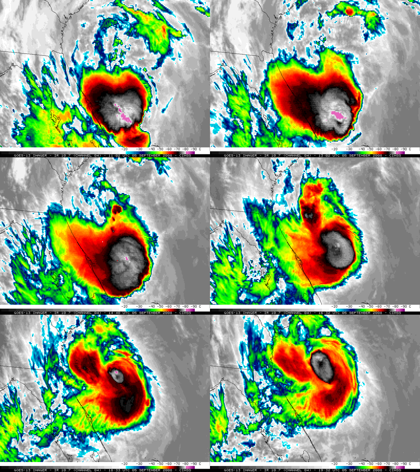
Rapid Scan Operations (RSO) images of the GOES-13 10.7 µm IR channel (above) showed some interesting evolution of Tropical Storm Hanna on 05 September 2008. Strong bursts of convection were seen to develop near the center of Hanna, with periods of cloud top temperatures colder than -80º C (purple colors).
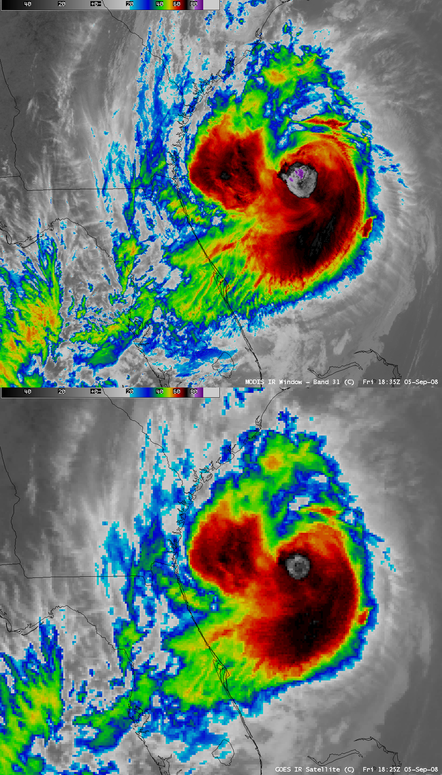
A comparison of AWIPS images of the 1-km resolution MODIS 11.0 µm IR and the 4-km resolution GOES-12 10.7 µm IR channel data (below) indicated that the coldest cloud top temperatures were -89º C with MODIS and -78º C with GOES.


