Fires burning across eastern Oklahoma
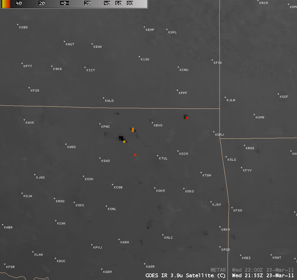
AWIPS images of 4-km resolution GOES-13 3.9 µm shortwave IR data (above; click image to play animation) displayed a number of “hot spots” (black to red to yellow color enhancement) associated with fires that were burning across much of eastern Oklahoma on 23 March 2011. The GOES-13 satellite had been placed into Rapid Scan Operations (RSO) mode to monitor severe convection in the eastern US, providing images as frequently as every 5-10 minutes.
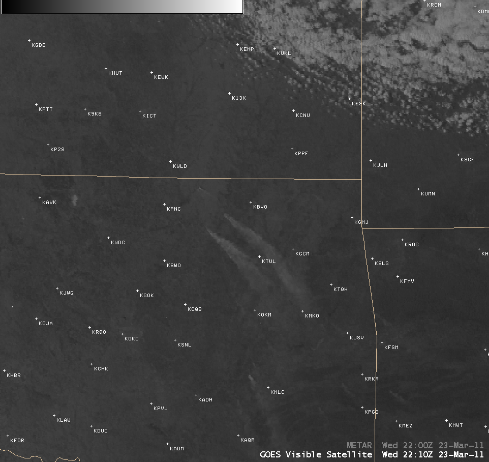
The corresponding 1-km resolution GOES-13 6.3 µm visible channel images (below; click image to play animation) showed the development of a few long southeastward-drifting smoke plumes emanating from some of the larger fires.
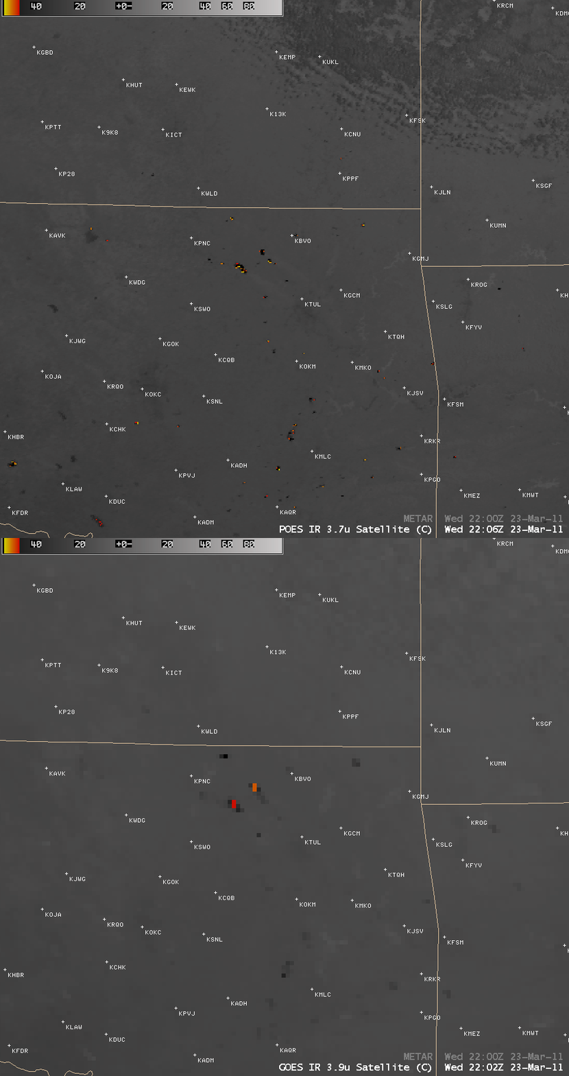
A comparison of the 4-km resolution GOES-13 3.9 µm shortwave IR image with the corresponding 1-km resolution POES AVHRR 3.7 µm shortwave IR image (below) demonstrates the advantage of higher spatial resolution for determining the exact location of the hottest fire pixels, as well as for the detection of many of the smaller fires.
These samples of images at both higher temporal resolution and at higher spatial resolution offer a glimpse of the types of improvements that will be available with the ABI instrument on the future GOES-R satellite. CIMSS participation in GOES-R Proving Ground activities includes making a variety of POES AVHRR images and products available for National Weather Service offices to add to their local AWIPS workstations.


