Upper Midwest Blizzard

GOES-13 6.5 µm "water vapor channel" images
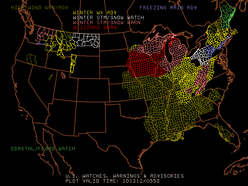
A large and intense cyclone produced widespread heavy snowfall and blizzard conditions across much of the Upper Midwest region on 11 December – 12 December 2010. AWIPS images of 4-km resolution GOES-3 6.5 µm “water vapor channel” data (above) showed the evolution of several important storm features, including a well defined dry slot, deformation zone, and Trough of Warm Air Aloft (TROWAL). The highest snowfall totals with this storm included 26.0 inches at Winona Dam, Minnesota and 23.0 inches at Osceola, Wisconsin.
A closer view using AWIPS images of 1-km resolution MODIS 11.0 µm IR and POES AVHRR 10.8 µm IR data (below) revealed the presence of widespread convective elements are various points in the storm’s life, with many exhibiting cloud top IR brightness temperatures as cold as -65º C (darker red color enhancement).

MODIS 11.0 µm IR and POES AVHRR 10.8 µm IR images
As part of the CIMSS involvement in GOES-R Proving Ground activities, MODIS and POES AVHRR satellite images and products are currently being made available in an AWIPS format for interested NWS forecast offices to add to their local AWIPS workstations (via LDM subscription). For more information, see the MODIS Imagery in D-2D and AVHRR Imagery and Products in D-2D sites. VISIT training lessons are also available for these MODIS and AVHRR images and products.
During the afternoon hours on 12 December, 1-km resolution MODIS false-color Red/Green/Blue (RGB) images created using the 0.65 µm “visible channel” and the 2.1 µm near-IR “snow/ice channel” (below) displayed the extent of some of the resulting snow cover — snow on the ground showed up as varying shades of darker red, in contrast to supercooled water droplet clouds which were the brighter features on the image.
 images")
MODIS false-color Red/Green/Blue (RGB) images