Severe thunderstorms in Arizona
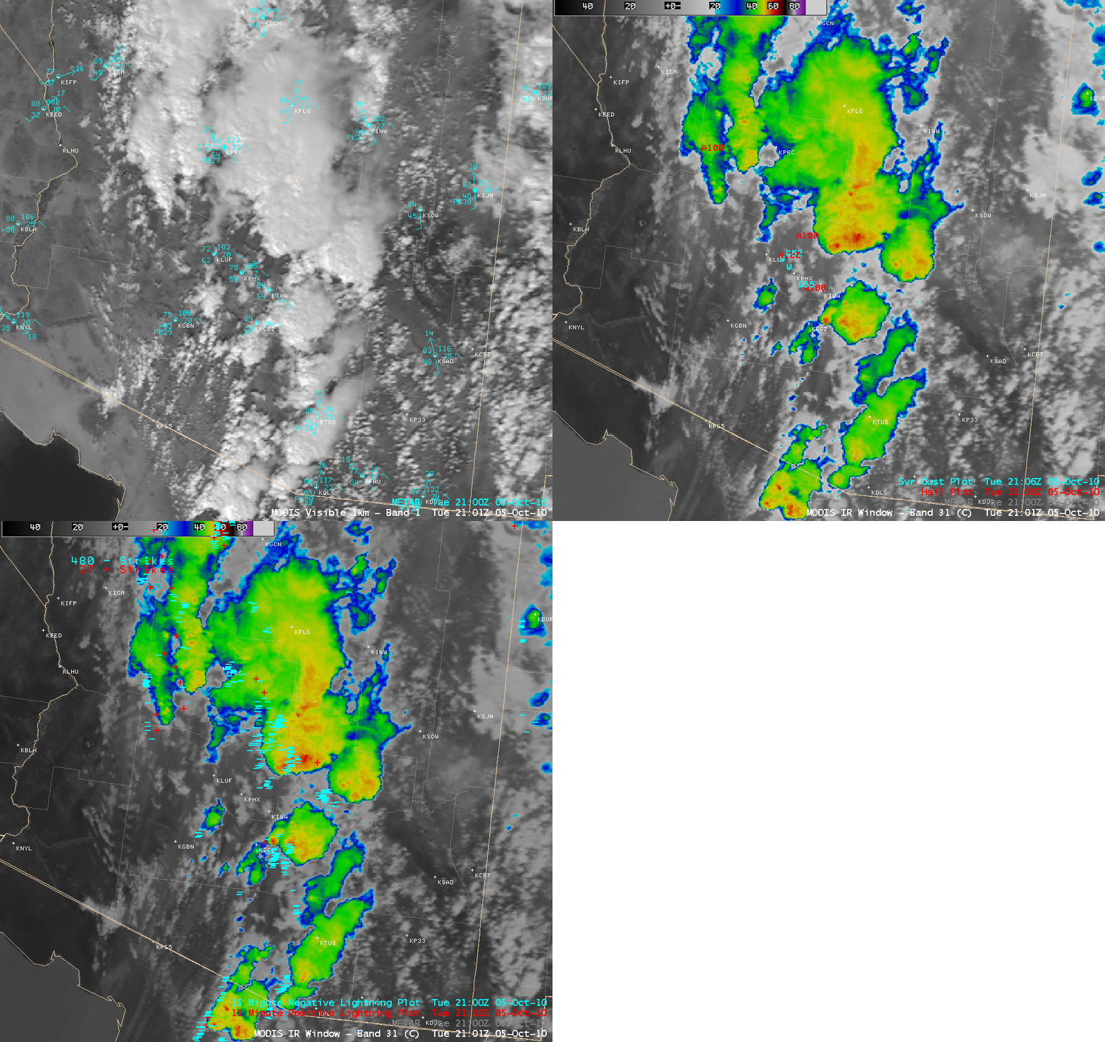
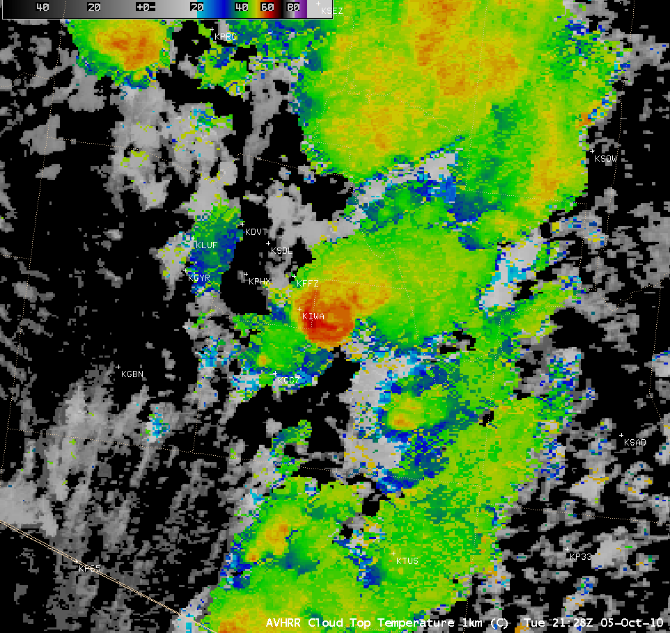
Multiple rounds of severe thunderstorms moved northward across southern Arizona on 05 October 2010, producing hail as large as 2.5 inches in diameter, wind gusts as high as 75 mph, and rainfall in excess of 2 inches at some locations (SPC Storm Reports). According to NWS Phoenix, the 2.5 inch diameter hail was some of the largest hail ever reported in Arizona.
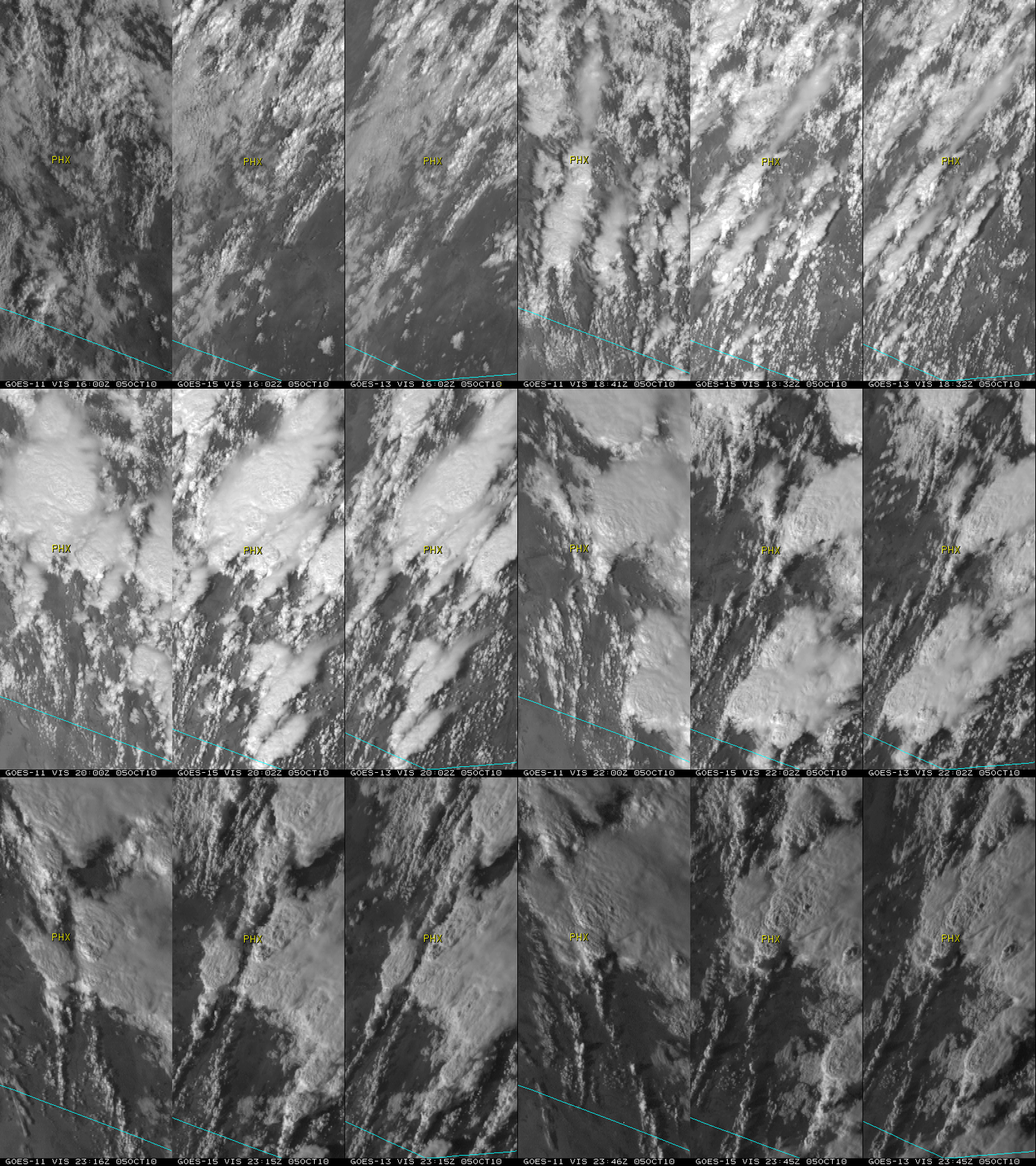
A 3-panel comparison of Visible channel images from GOES-11, GOES-15, and GOES-13 (above) showed the large clusters of convection, some of which moved through the Phoenix area (station identifier PHX). After 18:30 UTC, the GOES-11 satellite was placed into Rapid Scan Operations (RSO) mode, allowing images as frequently as every 5-7 minutes (in contrast to the standard operational 15-minute image interval on GOES-15 and GOES-13).
A comparison of GOES-11 Visible (0.65 µm) and Infrared Window (10.7 µm) images is shown below.
![GOES-11 Visible (0.65 µm, left) and Infrared Window (10.7 µm, right) images [click to play animation | MP4]](https://cimss.ssec.wisc.edu/satellite-blog/images/2010/10/G11_VIS_IR_AZ_SVR_05OCT2010_B14_2010278_221100_0002PANELS_FRAME00040.GIF)
GOES-11 Visible (0.65 µm, left) and Infrared Window (10.7 µm, right) images [click to play animation | MP4]


