Igor becomes the 4th Atlantic Basin hurricane of the 2010 season
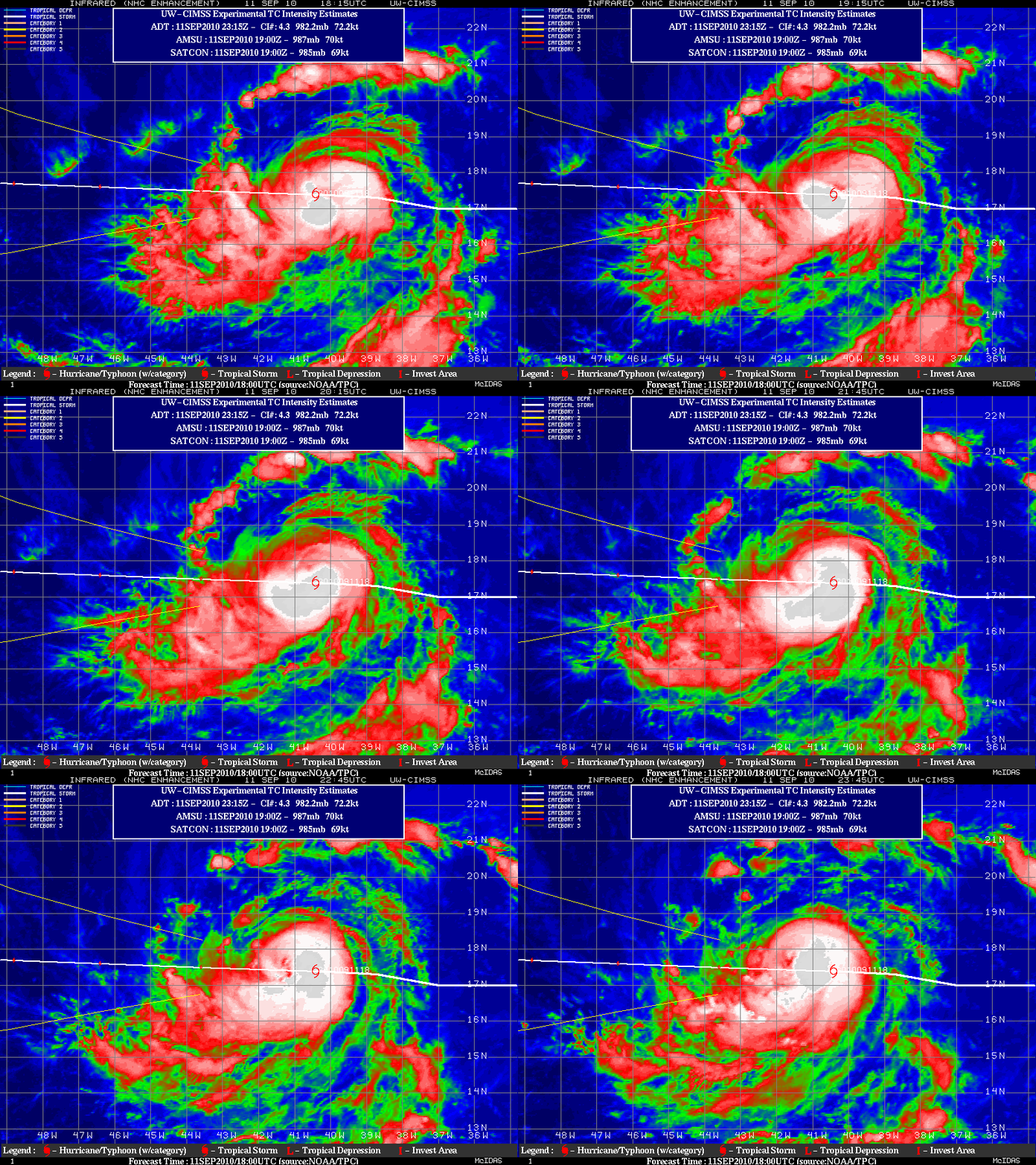
Hurricane Igor became the 4th hurricane of the season in the Atlantic Basin late in the day on 11 September 2010. GOES-13 10.7 µm IR images from the CIMSS Tropical Cyclones site (above) displayed an increasingly organized structure to the convection surrounding the center of the storm. Igor existed in an environment of low deep layer wind shear, which was a favorable factor for further intensification.
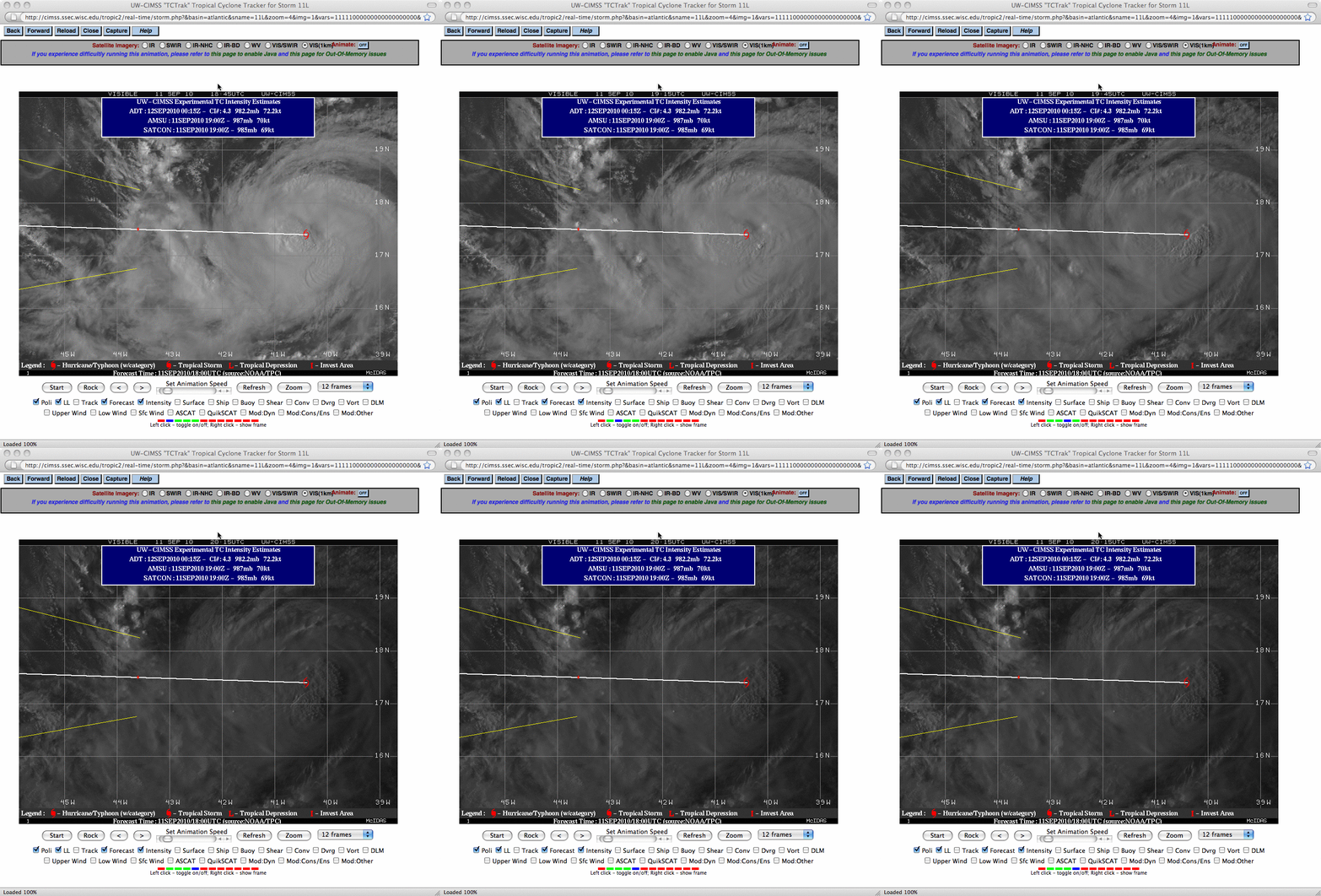
The development of a few convective bursts near the center of Igor’s circulation could be seen on GOES-13 0.63 µm visible images (below), suggesting the formation of an eyewall.
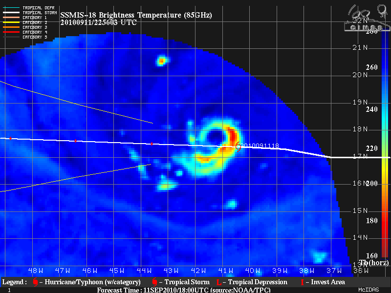
A 22:56 UTC microwave image from the SSMI/S instrument (below) revealed a well-defined convective ring around the center of Igor.


