Category 2 Hurricane Imelda passes over Bermuda

1-minute GOES-19 Visible and Infrared images with plots of 1-minute GOES-19 GLM Flash Points, from 1200-2100 UTC on 01 October; hourly METAR surface reports from Bermuda are plotted in cyan [click to play MP4 animation]
About an hour prior to the beginning of the GOES-19 Visible/Infrared image animation above, a DMSP-17 SSMIS Microwave image at 1057 UTC (below) depicted the eye and eyewall of Imelda.

DMSP-17 SSMIS Microwave image at 1057 UTC on 01 October
After sunset, 1-minute GOES-19 Infrared images (below) showed Imelda as it moved across the island of Bermuda. The strongest wind gust at Bermuda/Wade International Airport (TXKF) was on the back side of Imelda, with 49 kts occurring at 0400 UTC. Soon after the core of Imelda passed over Bermuda, a series of convective bursts exhibited cloud-top infrared brightness temperatures as cold as -87ºC. Interestingly, brief clusters of GLM Flash Points were associated with some of these convective bursts northeast of Bermuda — until that point, there was a general void of lighting activity with Imelda after sunset.

1-minute GOES-19 Infrared images, from 2200 UTC on 01 October to 0500 UTC on 02 October [click to play MP4 animation]

Plot of rawinsonde data from Bermuda International Airport at 0000 UTC on 02 October [click to enlarge]
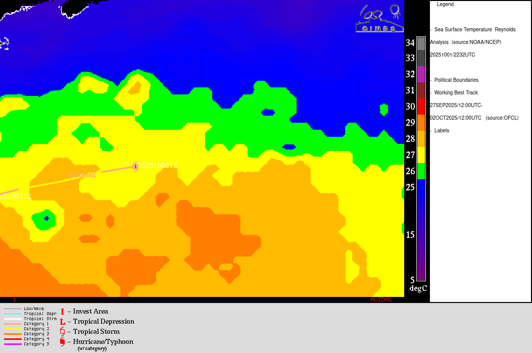
Sea Surface Temperature and Ocean Heat Content along the track of Hurricane Imelda