Another subtropical storm in the Atlantic?
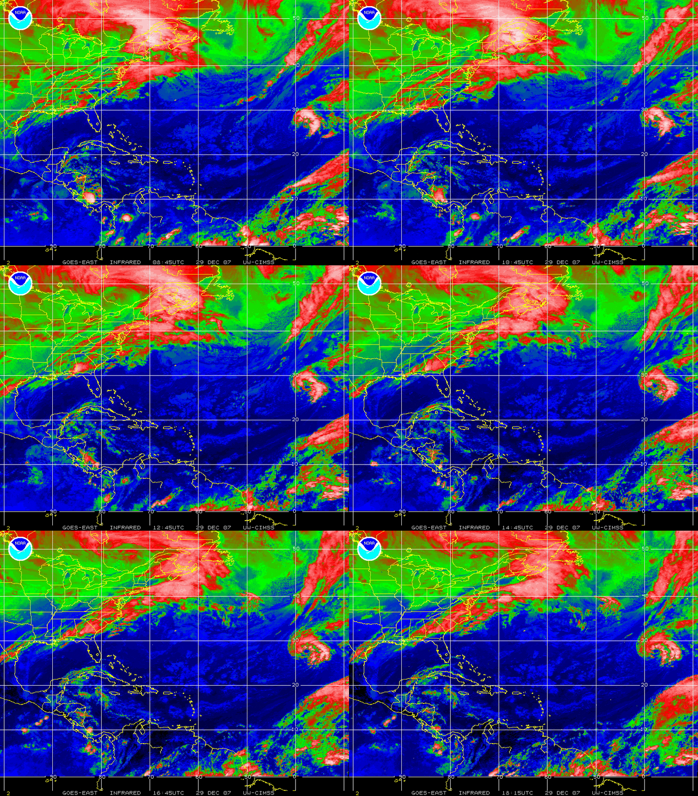
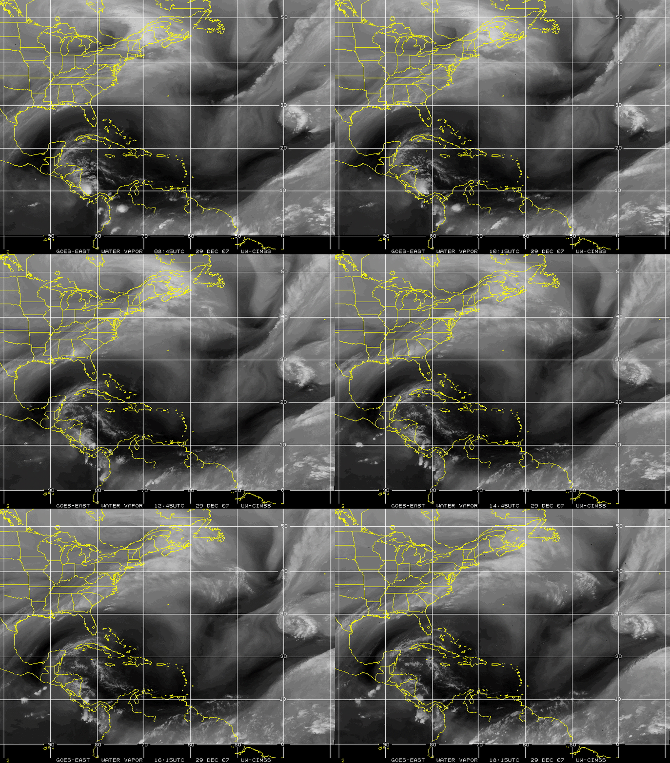
If you thought that Tropical Storm Olga was the last gasp of the 2007 North Atlantic basin’s Tropical Cyclone season, think again: GOES-12 10.7 µm IR channel imagery (above; closer view) and 6.5 µm water vapor channel imagery (below) revealed a circulation southwest of the Azores on 29 December 2007 (centered near 28º North latitude, 47º West longitude) that appeared to be acquiring subtropical characteristics as it began to produce gale-force winds and some convection (evident in this 500-m resolution MODIS visible image) within the northeastern quadrant of the disturbance.
===============================================
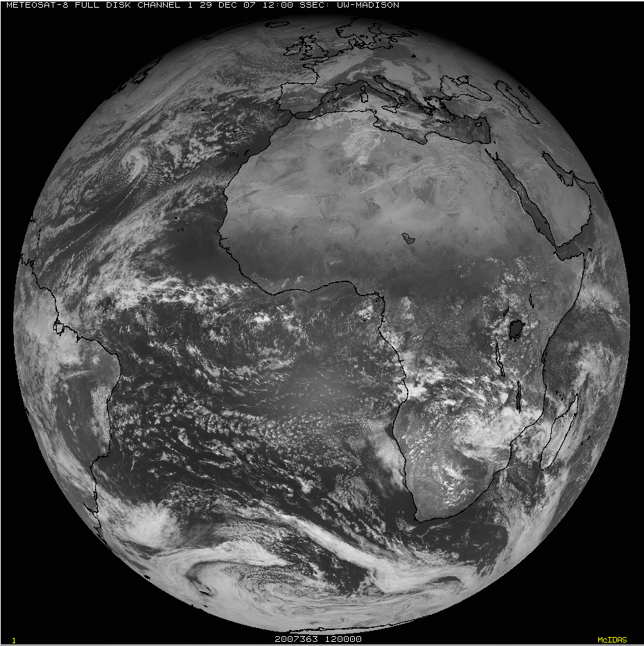
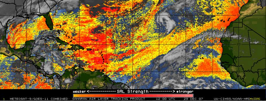
A Meteosat-8 visible channel image (above) showed the circulation well off the coast of Africa at 12:00 UTC on 29 December. In addition, note the “hazy” appearance of the cloud-free region over and just south of the Cap-Vert region of northwestern Africa (not the larger sun glint feature seen farther south over the subtropical South Atlantic — the Saharan Air Layer (SAL) tracking product (below) suggests that this could be an area of airborne dust (yellow to orange enhancement) moving westward from the Sahara desert across the far eastern Atlantic Ocean (a good deal of the yellow-to-orange signal across the rest of the North Atlantic is a “false positive” SAL/dust signal).


