Tropical Storm Olga
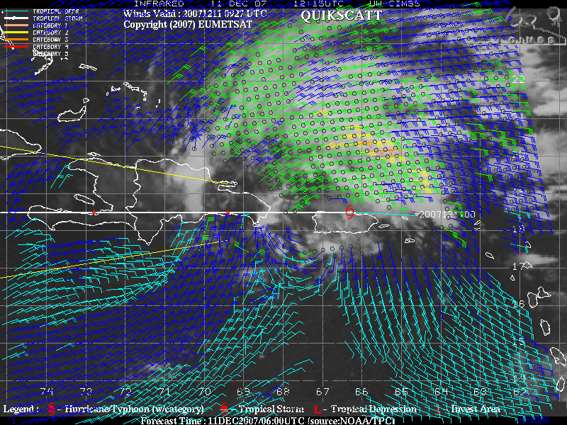
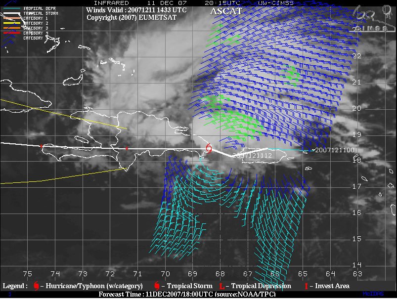
GOES-10 IR imagery with QuikSCAT winds (above) sourced from the CIMSS Tropical Cyclones site showed that the maximum surface winds associated with Subtropical Storm Olga were located well to the north of the center of the circulation early in the day on 11 December 2007. However, ASCAT wind data later in the day (below) indicated that the radius of the maximum surface winds had decreased somewhat, suggesting a transition from subtropical storm to tropical storm status. Reconnaissance aircraft data confirmed this trend, and Olga was named a Tropical Storm late in the day. Olga produced nearly 10 inches of rain across the island of Puerto Rico.
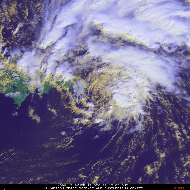
A NOAA-17 AVHRR 3-channel red/green/blue (RGB) false-color image (below) revealed that the center of Olga was partially exposed as the storm began to interact with the rugged terrain on the island of Hispaniola, with some convection around the core of the storm (primarily within the northern quadrant).


