Storm Daniel moves inland across northeastern Libya

EUMETSAT Meteosat-10 High Resolution Visible (0.8 µm) images, from ~0430-1600 UTC on 08/09/10 September; HLLB denotes Benghazi, Libya [click to play animated GIF | MP4]
Hourly MIMIC Total Precipitable Water images from 09 to11 September (below) displayed bands of TPW in the 2.0-3.0 inch range (darker shades of red) wrapping around the center of Storm Daniel as it moved inland — causing heavy rainfall and extensive flooding (see this Climate Connections blog post for more details). Ship reports indicated that water temperatures in the central Mediterranean Sea — where Storm Daniel had meandered for a few days before approaching Libya — were in the 77-79ºF range.
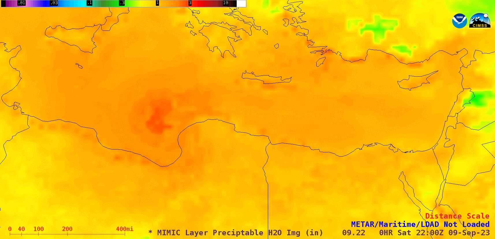
MIMIC Total Precipitable Water images, from 2200 UTC on 09 September to 1600 UTC on 11 September [click to play animated GIF | MP4]
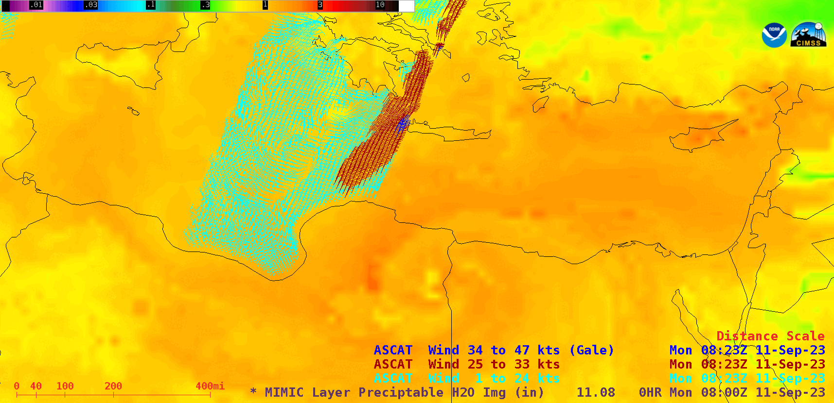
MIMIC Total Precipitable Water images, with an overlay of Metop-C ASCAT surface scatterometer winds at 0800 UTC and an overlay of surface/ship reports at 1100 UTC on 11 September [click to enlarge]